Transport Functions
Rail
Road
Hub Profile
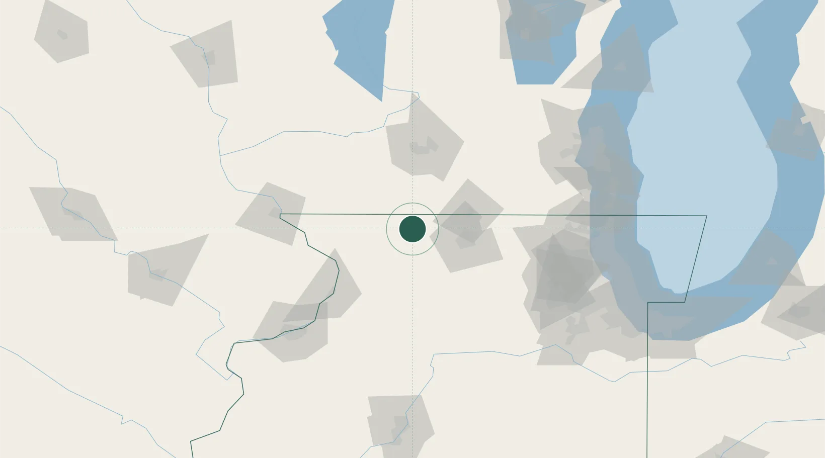
Place type
Populated place
Region
Illinois
Population
478
Time zone
America/Chicago
Elevation
288 m
Location
Nearby Logistics Neighbours
Cities
- 1Rock City5 km
- 2Orangeville14 km
- 3Pecatonica17 km
- 4Seward22 km
- 5Juda22 km
Ports
- 1Great Lakes139 km
- 2Waukegan140 km
- 3Kenosha141 km
- 4Racine147 km
- 5Milwaukee152 km
Airports
Trade Zones
DatabookThe Record of Consolidated Knowledge
United States beyond logistics?