UN/LOCODE hub · United States
USWNN
Winnebago
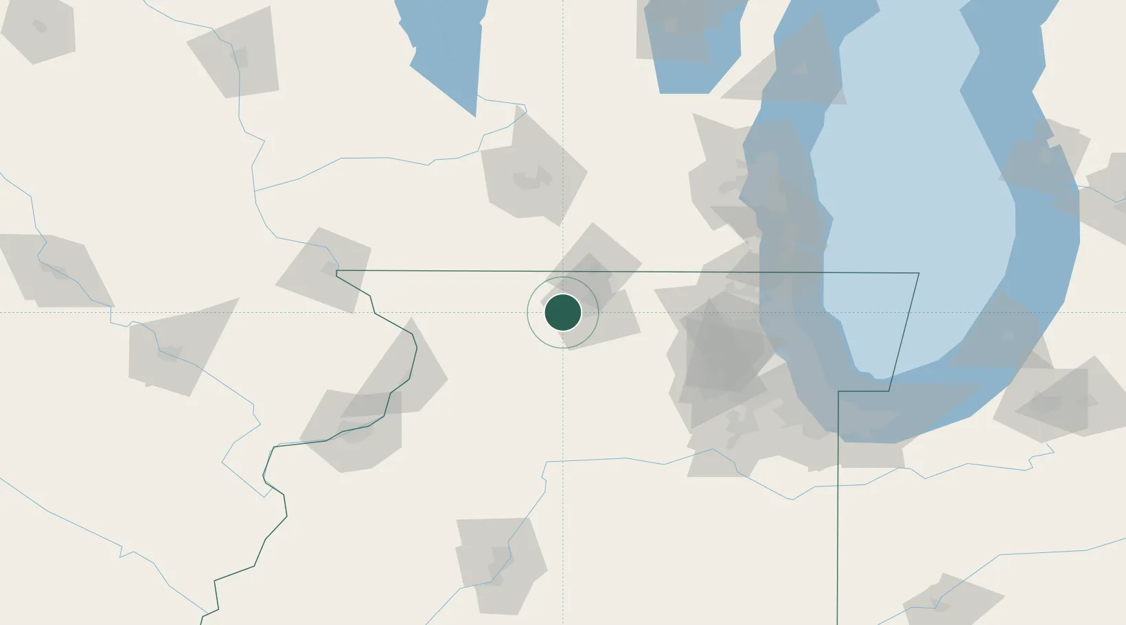
42.2500°, -89.2333°
3,012
Population
2
Transport functions
Transport Functions
Road
Multimodal
Hub Profile
Place type
Populated place
Region
Illinois
Population
3,012
Time zone
America/Chicago
Elevation
265 m
Location
Nearby Logistics Neighbours
Cities
- 1Seward10 km
- 2Pecatonica11 km
- 3Byron15 km
- 4Loves Park17 km
- 5Machesney Park18 km
Ports
- 1Great Lakes115 km
- 2Waukegan117 km
- 3Kenosha122 km
- 4Wilmette129 km
- 5Racine131 km
Airports
Trade Zones
DatabookThe Record of Consolidated Knowledge
United States beyond logistics?