Transport Functions
Road
Multimodal
Hub Profile
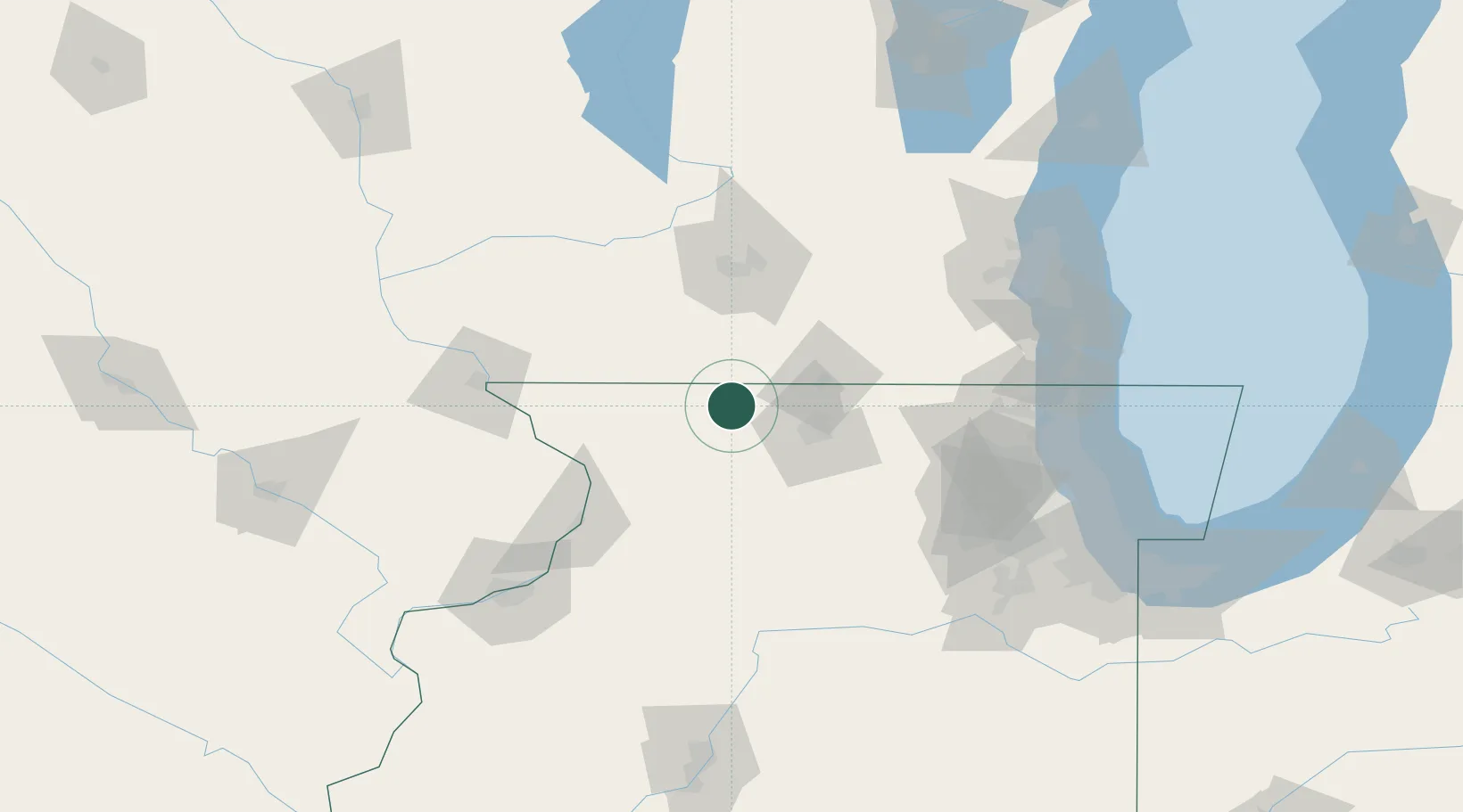
Place type
Populated place
Region
Illinois
Population
307
Time zone
America/Chicago
Elevation
277 m
Location
Nearby Logistics Neighbours
Cities
- 1Dakota5 km
- 2Pecatonica15 km
- 3Orangeville17 km
- 4Juda21 km
- 5Seward21 km
Ports
- 1Great Lakes135 km
- 2Waukegan136 km
- 3Kenosha137 km
- 4Racine143 km
- 5Milwaukee147 km
Airports
- 1Chicago Rockford International Airport38 km
- 2Dane County Regional Truax Field83 km
- 3Dubuque Regional Airport102 km
- 4Dupage Airport114 km
- 5Kenosha Regional Airport128 km
Trade Zones
DatabookThe Record of Consolidated Knowledge
United States beyond logistics?