UN/LOCODE hub · United States
USECT
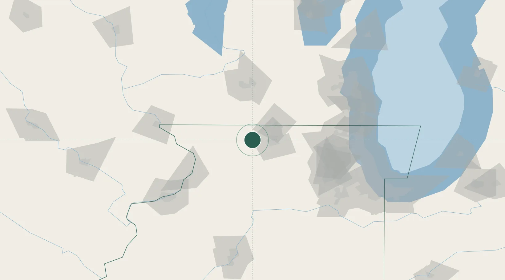
Pecatonica
42.3000°, -89.3500°
2,124
Population
2
Transport functions
Transport Functions
Road
Multimodal
Hub Profile
Place type
Populated place
Region
Illinois
Population
2,124
Time zone
America/Chicago
Elevation
235 m
Location
Nearby Logistics Neighbours
Ports
- 1Great Lakes125 km
- 2Waukegan126 km
- 3Kenosha130 km
- 4Racine137 km
- 5Wilmette139 km
Airports
Trade Zones
DatabookThe Record of Consolidated Knowledge
United States beyond logistics?