UN/LOCODE hub · United States
USQPY
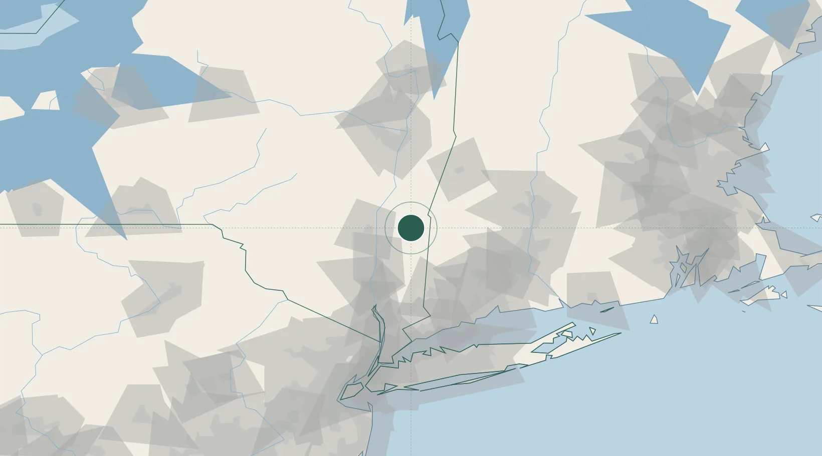
Pine Plains
41.9667°, -73.6500°
1,353
Population
3
Transport functions
Transport Functions
Port
Road
Multimodal
Hub Profile
Place type
Populated place
Region
New York
Population
1,353
Time zone
America/New_York
Elevation
143 m
Location
Nearby Logistics Neighbours
Cities
- 1Ancram9 km
- 2Millerton11 km
- 3Salisbury19 km
- 4Copake Falls20 km
- 5Millbrook21 km
Ports
- 1Kingston26 km
- 2Catskill32 km
- 3Poughkeepsie39 km
- 4Newburgh60 km
- 5Albany76 km
Airports
Trade Zones
- 1FTZ No. 201 Holyoke83 km
- 2FTZ No. 071 Windsor Locks84 km
- 3FTZ No. 121 Albany84 km
- 4FTZ No. 162 New Haven95 km
- 5FTZ No. 076 Bridgeport96 km
DatabookThe Record of Consolidated Knowledge
United States beyond logistics?