Medium airport · United States
New York Stewart International AirportKSWF
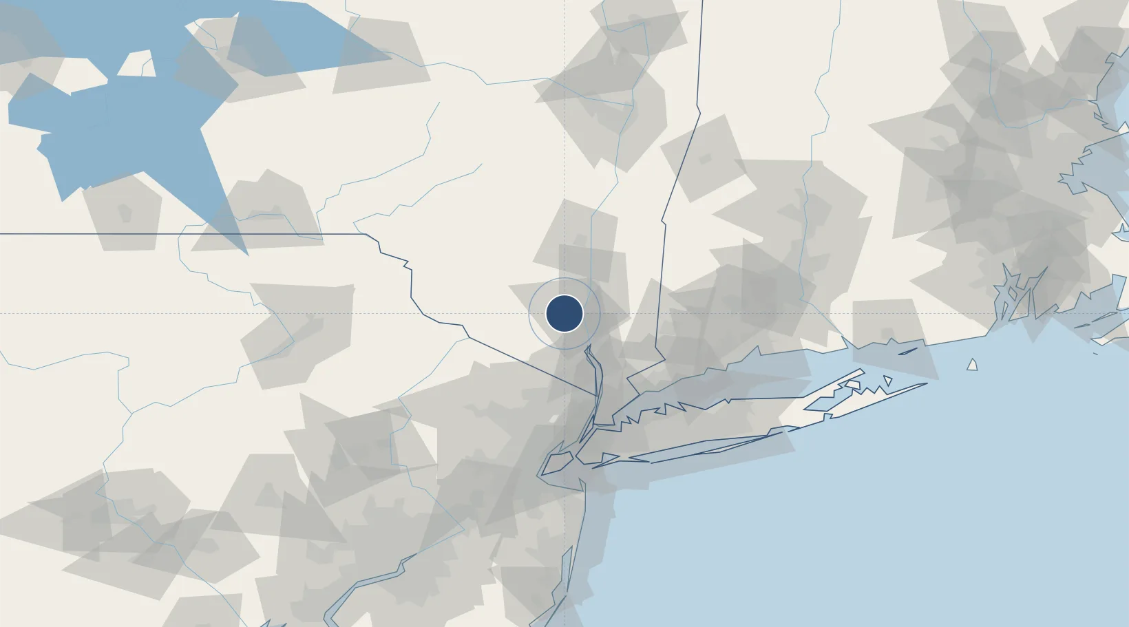
41.5042°, -74.1089°
11,817 ft
Longest runway
2
Runways
491 ft
Elevation
Runway & Layout

Radio Frequencies
ATIS
124.575 MHz
TWR
121 MHz
GND
121.9 MHz
ACP
37.94 MHz
105 AW COMD POST
CNTR
132.75 MHz
NEW YORK CNTR
MISC
38.5 MHz
AR OPS
OPS
49.75 MHz
ARMY OPS
UNIC
122.95 MHz
UNICOM
Navaids
IGN VOR-DME Kingston 117.60 MHz
SW NDB Neely 335 kHz
Runways · 2
| Runway | Dimensions | Surface | True heading | Lit |
|---|---|---|---|---|
| 09/27 | 11,817 × 150ft | Asphalt | 078° | ✓ |
| 16/34 | 6,004 × 150ft | Asphalt | 150° | ✓ |
Airport Specifications
IATA code
SWF
ICAO code
KSWF
Airport class
Medium airport
Scheduled service
Yes
Runway surface
Asphalt
Served city
Newburgh
Location
Nearby Logistics Neighbours
Airports
- 1Dutchess County Airport23 km
- 2Danbury Municipal Airport54 km
- 3Westchester County Airport59 km
- 4Teterboro Airport73 km
- 5Morristown Municipal Airport83 km
Cities
- 1Salisbury Mills8 km
- 2Rock Tavern9 km
- 3Beacon11 km
- 4Roseton11 km
- 5Chelsea13 km
Ports
- 1Newburgh9 km
- 2Poughkeepsie26 km
- 3Kingston49 km
- 4Yonkers66 km
- 5Port Chester67 km
Trade Zones
DatabookThe Record of Consolidated Knowledge
United States beyond logistics?