UN/LOCODE hub · United States
USACQ

Ancram

42.0500°, -73.6333°
3
Transport functions

Transport Functions

Port
Road
Multimodal
UN/LOCODE

Hub Profile

Place type
Populated place
GeoNames
Region
New York
GeoNames
Time zone
America/New_York
GeoNames
Elevation
158 m
GeoNames

Location

Location of USACQ
Natural Earth 10m (public domain) · New York · USACQ · 42.05, -73.63GoogleOSMYandex

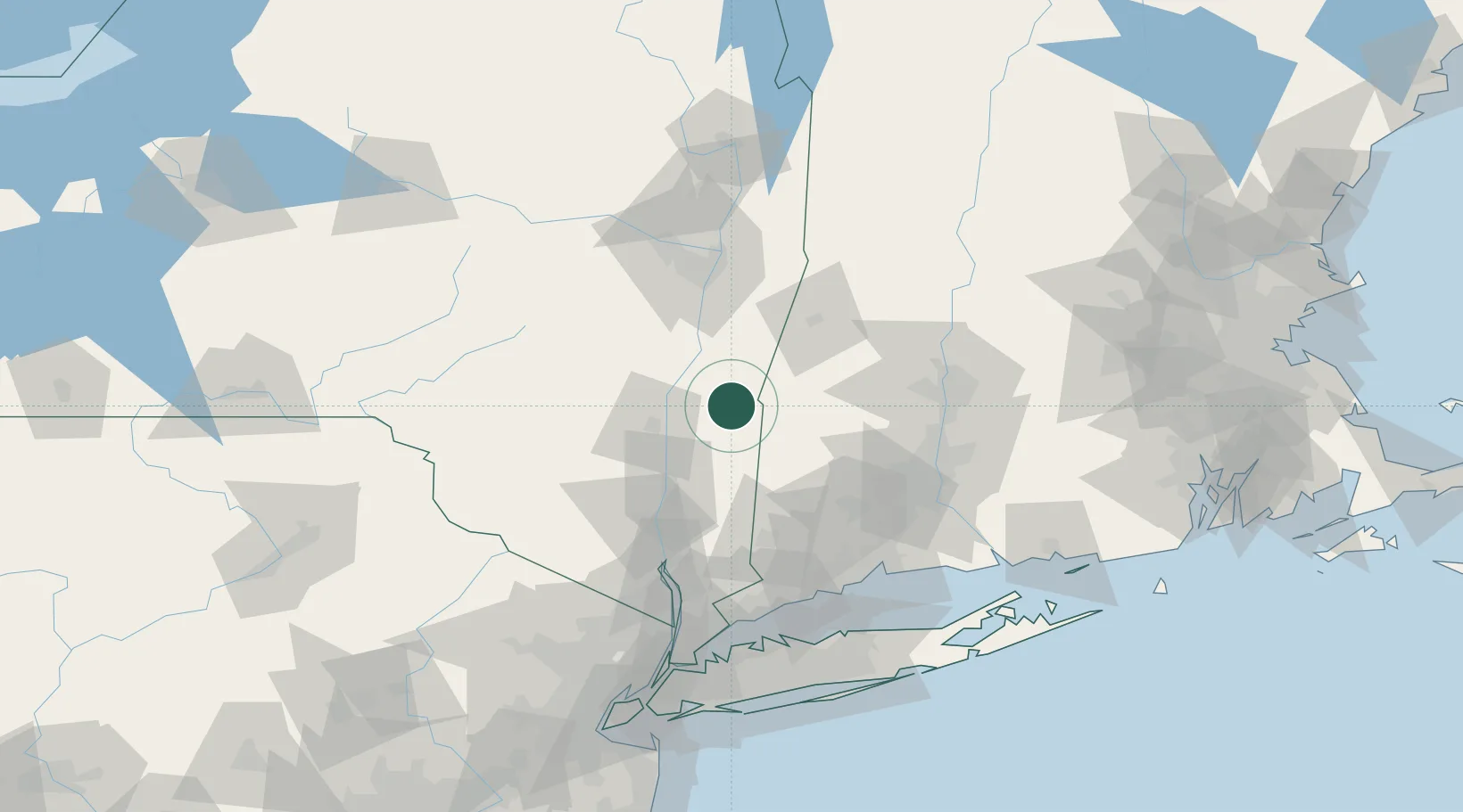
Nearby Logistics Neighbours

Cities
  1. 1Pine Plains9 km
  2. 2Copake Falls12 km
  3. 3Millerton15 km
  4. 4Salisbury19 km
  5. 5Philmont22 km
Nearest neighbours — logibook spatial index (haversine) over the source coordinates
Ports
  1. 1Catskill26 km
  2. 2Kingston30 km
  3. 3Poughkeepsie47 km
  4. 4Albany67 km
  5. 5Rensselaer67 km
Nearest neighbours — logibook spatial index (haversine) over the source coordinates
Airports
  1. 1Dutchess County Airport52 km
  2. 2New York Stewart International Airport72 km
  3. 3Danbury Municipal Airport77 km
  4. 4Westfield-Barnes Regional Airport77 km
  5. 5Albany International Airport79 km
Nearest neighbours — logibook spatial index (haversine) over the source coordinates
Trade Zones
  1. 1FTZ No. 121 Albany76 km
  2. 2FTZ No. 201 Holyoke79 km
  3. 3FTZ No. 071 Windsor Locks84 km
  4. 4FTZ No. 162 New Haven101 km
  5. 5FTZ No. 076 Bridgeport104 km
Nearest neighbours — logibook spatial index (haversine) over the source coordinates
DatabookThe Record of Consolidated Knowledge
United States beyond logistics?
Browse databook

All Sources

LocationsUN/LOCODE
UN/LOCODE — free
Portsthe NGA World Port Index
Public domain (US gov)
AirportsOurAirports
Public domain
Trade Zonesthe World Bank SEZ database
CC BY 4.0
Trade ZonesOpen Zone Map
CC BY
← United States locations