UN/LOCODE hub · United States
USZOO
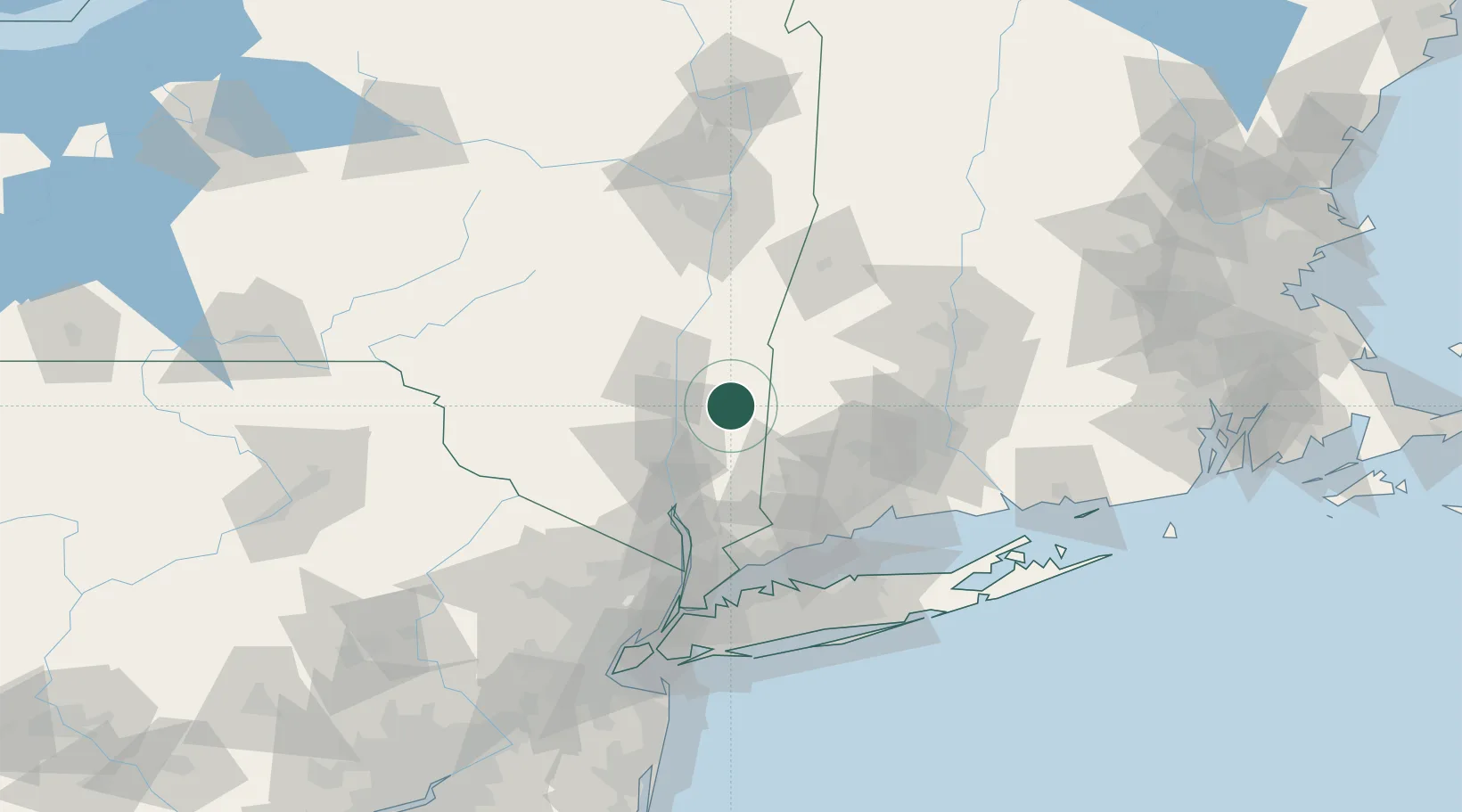
Millbrook
41.7833°, -73.6833°
1,425
Population
2
Transport functions
Transport Functions
Road
Multimodal
Hub Profile
Place type
Populated place
Region
New York
Population
1,425
Time zone
America/New_York
Elevation
175 m
Location
Nearby Logistics Neighbours
Cities
- 1Kent19 km
- 2Pine Plains21 km
- 3South Kent22 km
- 4Esopus22 km
- 5Millerton23 km
Ports
- 1Poughkeepsie24 km
- 2Kingston29 km
- 3Newburgh41 km
- 4Catskill50 km
- 5Norwalk79 km
Airports
Trade Zones
- 1FTZ No. 076 Bridgeport79 km
- 2FTZ No. 162 New Haven82 km
- 3FTZ No. 071 Windsor Locks89 km
- 4FTZ No. 201 Holyoke94 km
- 5FTZ No. 052 Suffolk County104 km
DatabookThe Record of Consolidated Knowledge
United States beyond logistics?