UN/LOCODE hub · United States
USQPS

Pine Bluffs

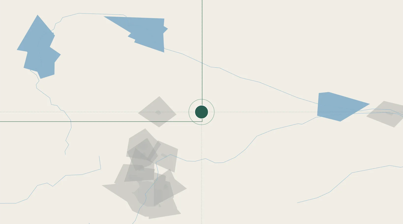
41.1667°, -104.0667°
1,146
Population
4
Transport functions

Transport Functions

Port
Rail
Road
Multimodal
UN/LOCODE

Hub Profile

Place type
Populated place
GeoNames
Region
Wyoming
GeoNames
Population
1,146
GeoNames
Time zone
America/Denver
GeoNames
Elevation
1,539 m
GeoNames

Location

Location of USQPS
Natural Earth 10m (public domain) · Wyoming · USQPS · 41.17, -104.07GoogleOSMYandex

Nearby Logistics Neighbours

Cities
  1. 1Albin28 km
  2. 2Lucerne89 km
  3. 3Laporte104 km
  4. 4La Salle105 km
  5. 5Roggen114 km
Nearest neighbours — logibook spatial index (haversine) over the source coordinates
Ports
  1. 1Duluth1140 km
  2. 2Superior1141 km
  3. 3Newport Beach1480 km
  4. 4Deer Park1494 km
  5. 5San Diego1494 km
Nearest neighbours — logibook spatial index (haversine) over the source coordinates
Airports
  1. 1Cheyenne Regional Jerry Olson Field62 km
  2. 2Western Neb. Rgnl/William B. Heilig Airport88 km
  3. 3Sidney Municipal Airport Lloyd W Carr Field91 km
  4. 4Northern Colorado Regional Airport113 km
  5. 5Laramie Regional Airport135 km
Nearest neighbours — logibook spatial index (haversine) over the source coordinates
Trade Zones
  1. 1FTZ No. 123 Denver177 km
  2. 2FTZ No. 298 Jefferson County183 km
  3. 3FTZ No. 293 Limon214 km
  4. 4FTZ No. 112 Colorado Springs267 km
  5. 5FTZ No. 059 Lincoln609 km
Nearest neighbours — logibook spatial index (haversine) over the source coordinates
DatabookThe Record of Consolidated Knowledge
United States beyond logistics?
Browse databook

All Sources

LocationsUN/LOCODE
UN/LOCODE — free
LocationsGeoNames
CC BY 4.0
Portsthe NGA World Port Index
Public domain (US gov)
AirportsOurAirports
Public domain
Trade Zonesthe World Bank SEZ database
CC BY 4.0
Trade ZonesOpen Zone Map
CC BY
← United States locations