Transport Functions
Rail
Road
Hub Profile
Place type
Populated place
Region
Wyoming
Population
190
Time zone
America/Denver
Elevation
1,627 m
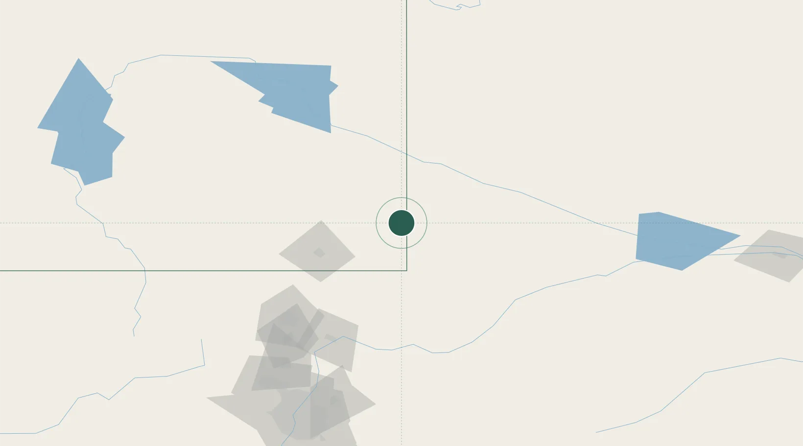
Location
Nearby Logistics Neighbours
Cities
- 1Pine Bluffs28 km
- 2Guernsey109 km
- 3Lucerne114 km
- 4Laporte117 km
- 5La Salle129 km
Ports
- 1Duluth1126 km
- 2Superior1127 km
- 3Newport Beach1492 km
- 4San Diego1508 km
- 5Deer Park1518 km
Airports
Trade Zones
- 1FTZ No. 123 Denver201 km
- 2FTZ No. 298 Jefferson County206 km
- 3FTZ No. 293 Limon242 km
- 4FTZ No. 112 Colorado Springs294 km
- 5FTZ No. 059 Lincoln613 km
DatabookThe Record of Consolidated Knowledge
United States beyond logistics?