Transport Functions
Port
Multimodal
Hub Profile
Place type
Populated place
Region
Colorado
Time zone
America/Denver
Elevation
1,436 m
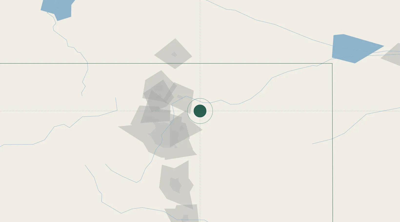
Location
Nearby Logistics Neighbours
Cities
- 1Keenesburg15 km
- 2Lucerne31 km
- 3La Salle35 km
- 4Fort Lupton38 km
- 5Firestone49 km
Ports
- 1Duluth1230 km
- 2Superior1230 km
- 3Newport Beach1404 km
- 4San Diego1412 km
- 5Deer Park1419 km
Airports
Trade Zones
- 1FTZ No. 123 Denver71 km
- 2FTZ No. 298 Jefferson County82 km
- 3FTZ No. 293 Limon116 km
- 4FTZ No. 112 Colorado Springs153 km
- 5FTZ No. 252 Amarillo594 km
DatabookThe Record of Consolidated Knowledge
United States beyond logistics?