Medium airport · United States
Western Neb. Rgnl/William B. Heilig AirportKBFF
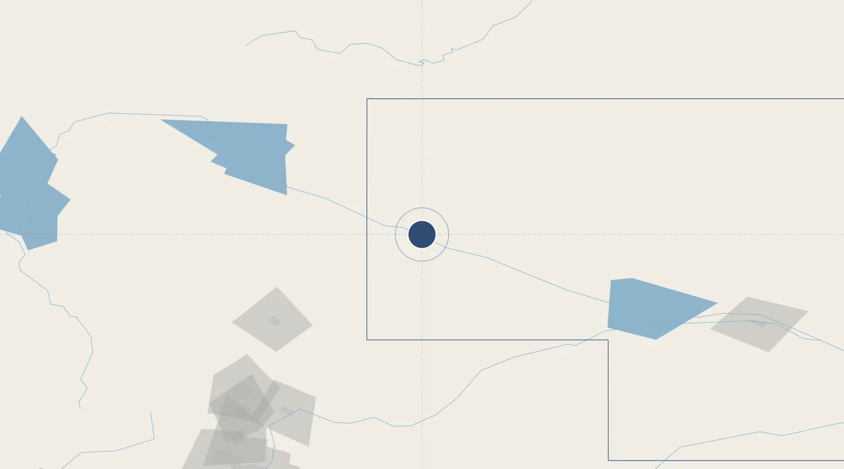
41.8740°, -103.5960°
8,279 ft
Longest runway
2
Runways
3,967 ft
Elevation
Runway & Layout

Radio Frequencies
ASOS
121.025 MHz
CNTR
127.95 MHz
DENVER CNTR
RDO
122.6 MHz
COLUMBUS RDO
UNIC
123 MHz
CTAF/UNICOM
Navaids
BF NDB Creve 263 kHz
BFF VORTAC Scottsbluff 112.60 MHz
GIG NDB Gering 341 kHz
Runways · 2
| Runway | Dimensions | Surface | True heading | Lit |
|---|---|---|---|---|
| 12/30 | 8,279 × 150ft | Asphalt | 136° | ✓ |
| 05/23 | 8,002 × 150ft | Asphalt | 068° | ✓ |
Airport Specifications
IATA code
BFF
ICAO code
KBFF
Airport class
Medium airport
Scheduled service
Yes
Runway surface
Asphalt
Served city
Scottsbluff
Location
Nearby Logistics Neighbours
Airports
Cities
- 1Albin66 km
- 2Pine Bluffs88 km
- 3Guernsey105 km
- 4Lucerne177 km
- 5Laporte182 km
Ports
- 1Duluth1063 km
- 2Superior1063 km
- 3Two Harbors1106 km
- 4Ashland1140 km
- 5Washburn1142 km
Trade Zones
- 1FTZ No. 123 Denver265 km
- 2FTZ No. 298 Jefferson County271 km
- 3FTZ No. 293 Limon291 km
- 4FTZ No. 112 Colorado Springs354 km
- 5FTZ No. 059 Lincoln577 km
DatabookThe Record of Consolidated Knowledge
United States beyond logistics?