UN/LOCODE hub · United States
USRQS
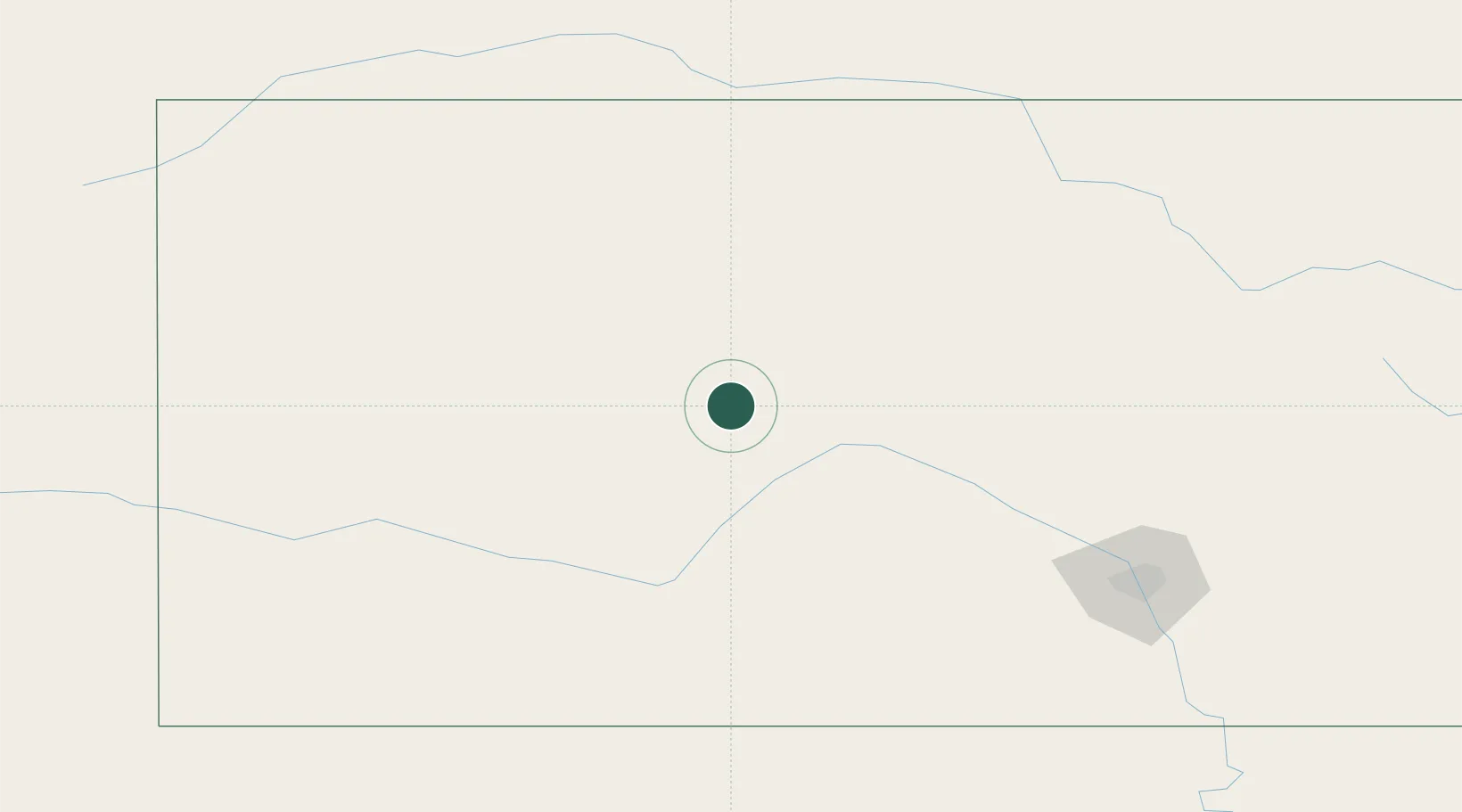
La Crosse
38.5333°, -99.3000°
1,262
Population
3
Transport functions
Transport Functions
Rail
Road
Multimodal
Hub Profile
Place type
Provincial seat
Region
Kansas
Population
1,262
Time zone
America/Chicago
Elevation
627 m
Location
Nearby Logistics Neighbours
Cities
- 1Burdett42 km
- 2Hoisington46 km
- 3Ness City53 km
- 4Paradise71 km
- 5Stafford88 km
Ports
- 1Port Of Memphis899 km
- 2Beaumont1054 km
- 3Port Neches1068 km
- 4Orange1069 km
- 5Lake Charles1078 km
Airports
- 1Hays Regional Airport35 km
- 2Russell Municipal Airport57 km
- 3Dodge City Regional Airport104 km
- 4Hutchinson Municipal Airport136 km
- 5Garden City Regional Airport142 km
Trade Zones
- 1FTZ No. 161 Sedgwick County164 km
- 2FTZ No. 133 Quad-Cities, Iowa Illinois313 km
- 3FTZ No. 059 Lincoln329 km
- 4FTZ No. 106 Oklahoma City376 km
- 5FTZ No. 015 Kansas City384 km
DatabookThe Record of Consolidated Knowledge
United States beyond logistics?