Transport Functions
Rail
Road
Multimodal
Hub Profile
Region
AL
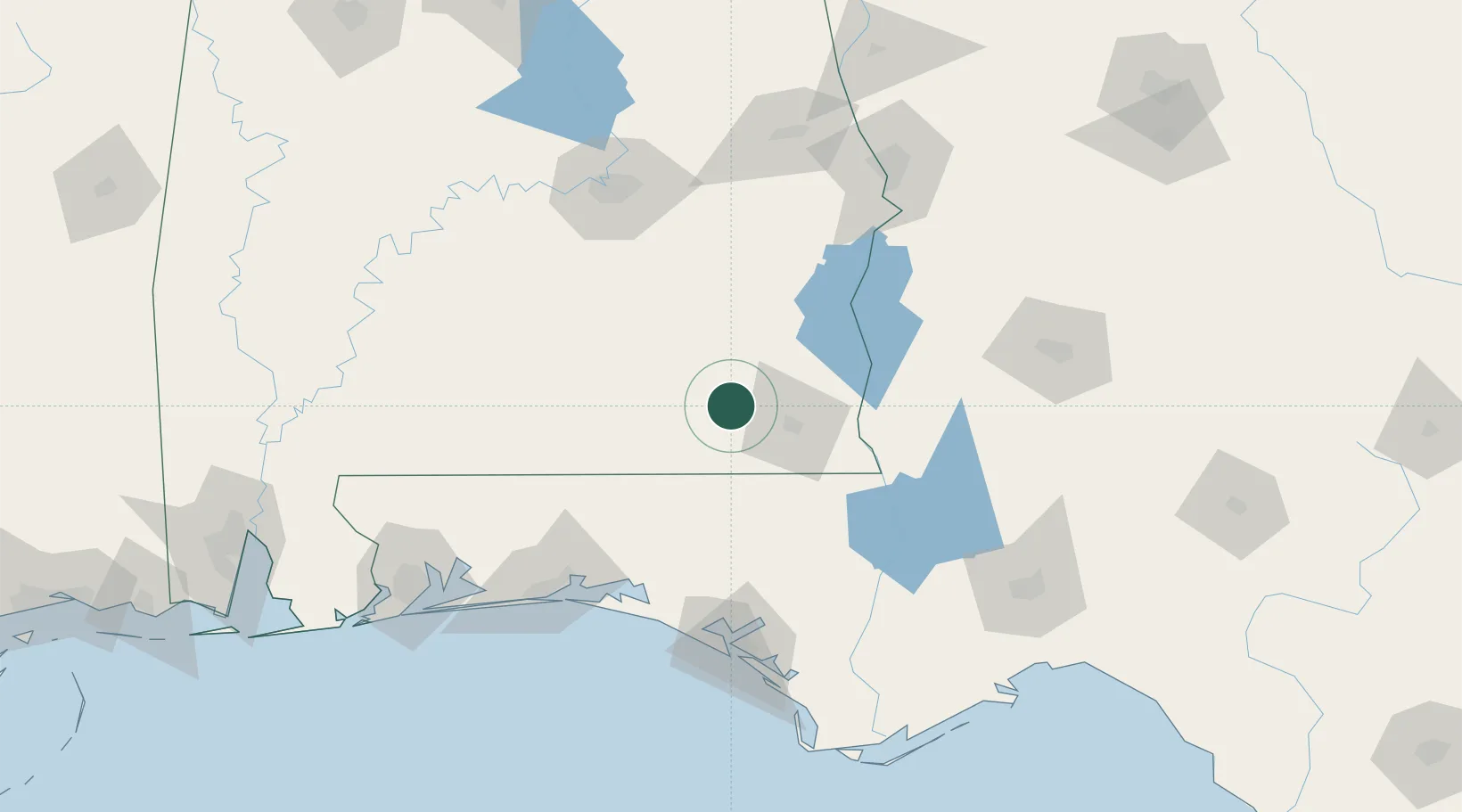
Location
Nearby Logistics Neighbours
Cities
- 1Daleville4 km
- 2New Brockton20 km
- 3Hartford26 km
- 4Ariton30 km
- 5Brundidge44 km
Ports
- 1Panama City134 km
- 2Port St Joe173 km
- 3Pensacola177 km
- 4Apalachicola193 km
- 5Carrabelle193 km
Airports
Trade Zones
- 1FTZ No. 233 Dothan30 km
- 2FTZ No. 065 Panama City126 km
- 3FTZ No. 222 Montgomery129 km
- 4FTZ No. 249 Pensacola178 km
- 5FTZ No. 082 Mobile237 km
DatabookThe Record of Consolidated Knowledge
United States beyond logistics?