UN/LOCODE hub · United States
USDVY
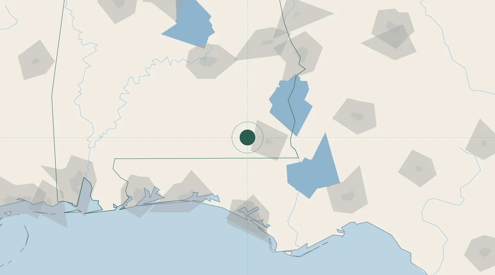
Daleville
31.3000°, -85.7167°
5,141
Population
2
Transport functions
Transport Functions
Rail
Road
Hub Profile
Place type
Populated place
Region
Alabama
Population
5,141
Time zone
America/Chicago
Elevation
102 m
Location
Nearby Logistics Neighbours
Cities
- 1Fort Rucker4 km
- 2New Brockton21 km
- 3Hartford22 km
- 4Ariton33 km
- 5Kinston44 km
Ports
- 1Panama City130 km
- 2Port St Joe169 km
- 3Pensacola175 km
- 4Apalachicola190 km
- 5Carrabelle190 km
Airports
Trade Zones
- 1FTZ No. 233 Dothan29 km
- 2FTZ No. 065 Panama City122 km
- 3FTZ No. 222 Montgomery132 km
- 4FTZ No. 249 Pensacola176 km
- 5FTZ No. 082 Mobile236 km
DatabookThe Record of Consolidated Knowledge
United States beyond logistics?