Transport Functions
Port
Rail
Road
Multimodal
Hub Profile
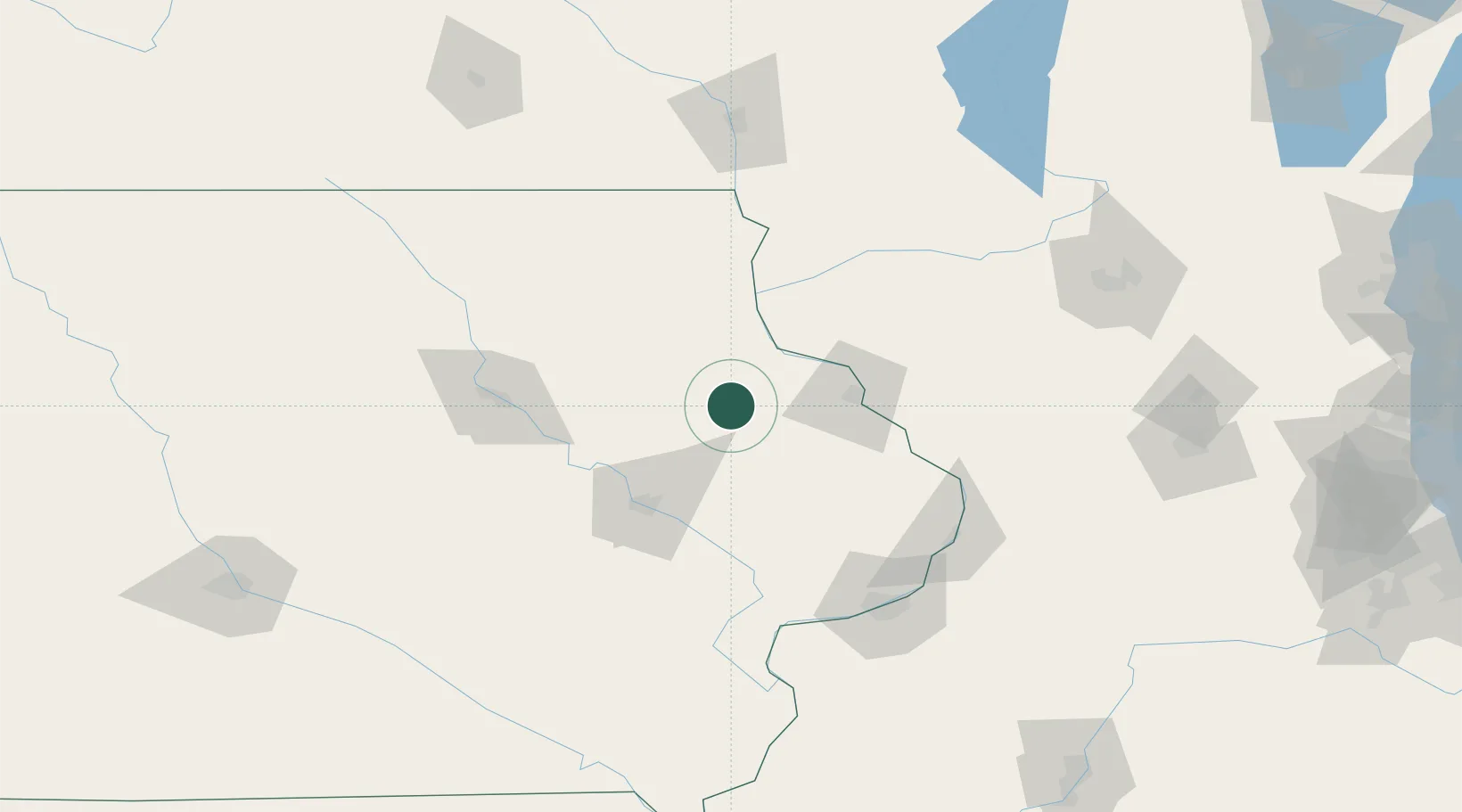
Place type
Populated place
Region
Iowa
Population
790
Time zone
America/Chicago
Elevation
304 m
Location
Nearby Logistics Neighbours
Cities
- 1Hopkinton15 km
- 2New Vienna16 km
- 3Colesburg19 km
- 4Farley22 km
- 5Edgewood23 km
Ports
- 1Great Lakes283 km
- 2Kenosha283 km
- 3Milwaukee283 km
- 4Waukegan283 km
- 5Racine287 km
Airports
Trade Zones
- 1FTZ No. 175 Cedar Rapids71 km
- 2FTZ No. 271 Jo-Daviess and Carroll Counties86 km
- 3FTZ No. 266 Dane County144 km
- 4FTZ No. 176 Rockford171 km
- 5FTZ No. 055 Burlington185 km
DatabookThe Record of Consolidated Knowledge
United States beyond logistics?