Transport Functions
Port
Road
Multimodal
Hub Profile
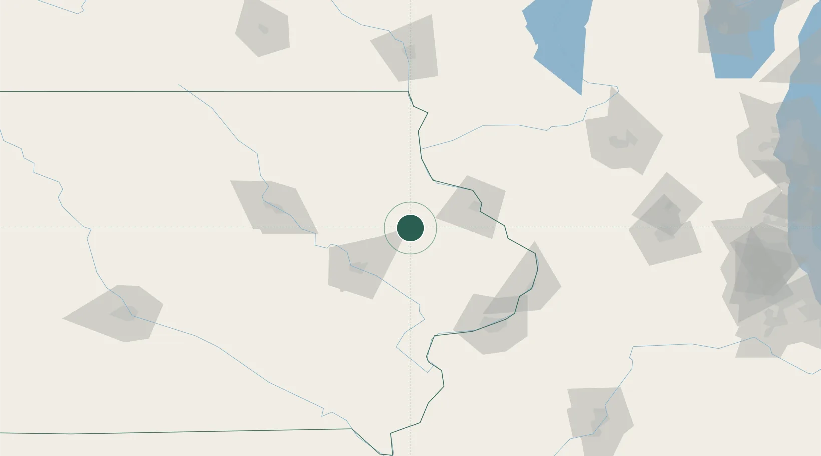
Place type
Populated place
Region
Iowa
Population
613
Time zone
America/Chicago
Elevation
263 m
Location
Nearby Logistics Neighbours
Cities
- 1Earlville15 km
- 2Farley22 km
- 3New Vienna25 km
- 4Colesburg34 km
- 5Edgewood38 km
Ports
- 1Great Lakes280 km
- 2Waukegan281 km
- 3Kenosha282 km
- 4Milwaukee285 km
- 5Racine286 km
Airports
Trade Zones
- 1FTZ No. 175 Cedar Rapids62 km
- 2FTZ No. 271 Jo-Daviess and Carroll Counties82 km
- 3FTZ No. 266 Dane County149 km
- 4FTZ No. 176 Rockford167 km
- 5FTZ No. 055 Burlington170 km
DatabookThe Record of Consolidated Knowledge
United States beyond logistics?