Channel & Berth Profile
Pilotage, Tugs & Services
Pilotage compulsoryYES
Tug assistanceYES
Shore powerYES
Potable waterYES
Diesel bunkersYES
MedicalYES
Facilities & Capabilities
Container—
Ro-Ro—
Liquid bulk—
Dry bulk—
Oil terminal—
Break bulk—
Dry dockNO
RepairsNO
BunkeringYES
Rail linkYES
Dangerous cargo—
ISPS security—
Harbour Specifications
Harbour size
Small
Harbour type
River (Natural)
Shelter
Excellent
Water body
North Atlantic Ocean
Tidal range
0.9 m
Overhead limit
Yes
Pilotage
Yes
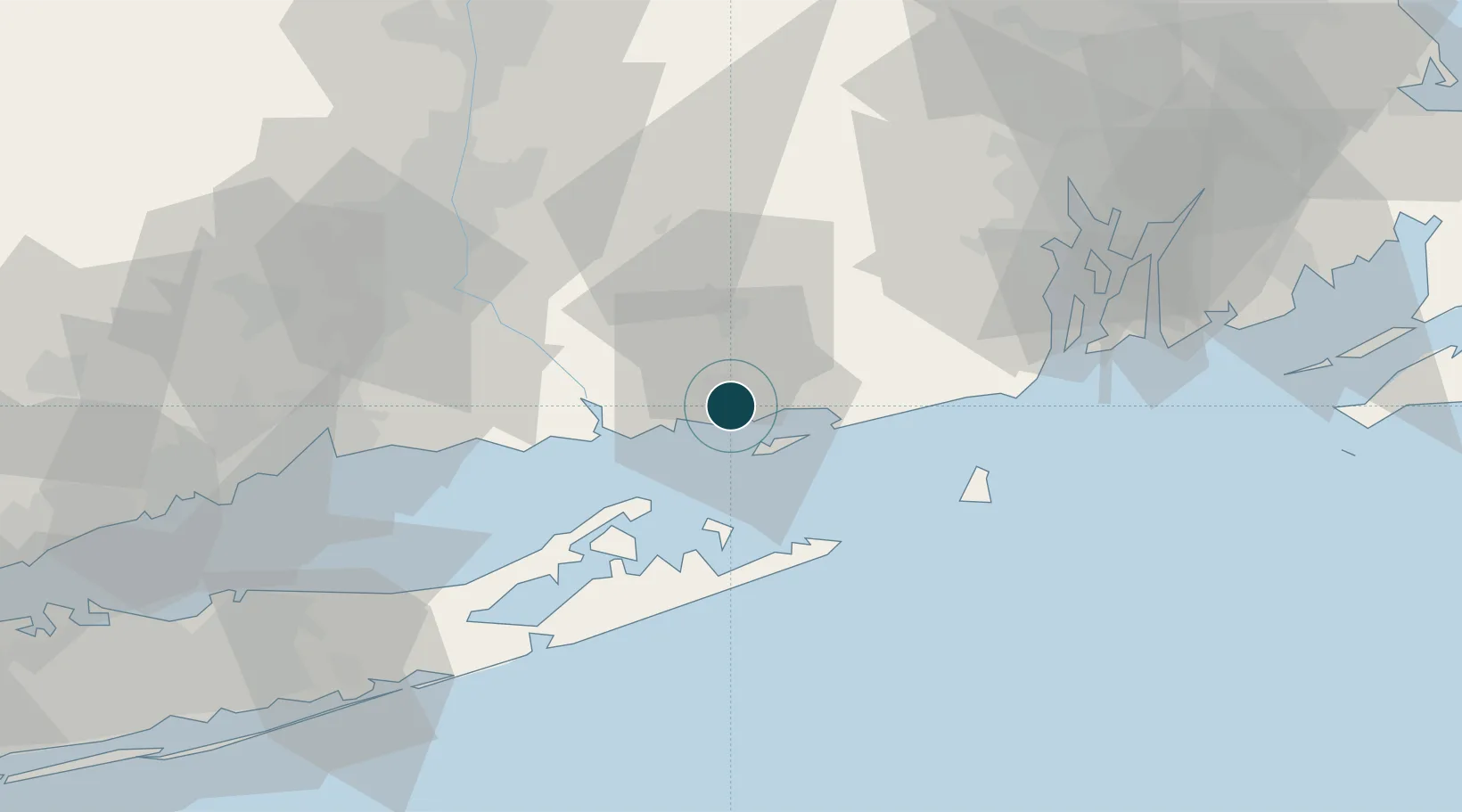
Location
Nearby Logistics Neighbours
Ports
- 1Noank9 km
- 2Mystic10 km
- 3Stonington15 km
- 4Norwich19 km
- 5Essex25 km
Cities
- 1Waterford3 km
- 2Gales Ferry7 km
- 3Niantic9 km
- 4East Lyme10 km
- 5Mystic11 km
Airports
- 1Groton New London Airport4 km
- 2Westerly State Airport23 km
- 3Montauk Airport33 km
- 4Block Island State Airport47 km
- 5Quonset State Airport62 km
Trade Zones
DatabookThe Record of Consolidated Knowledge
United States beyond logistics?