Transport Functions
Road
Multimodal
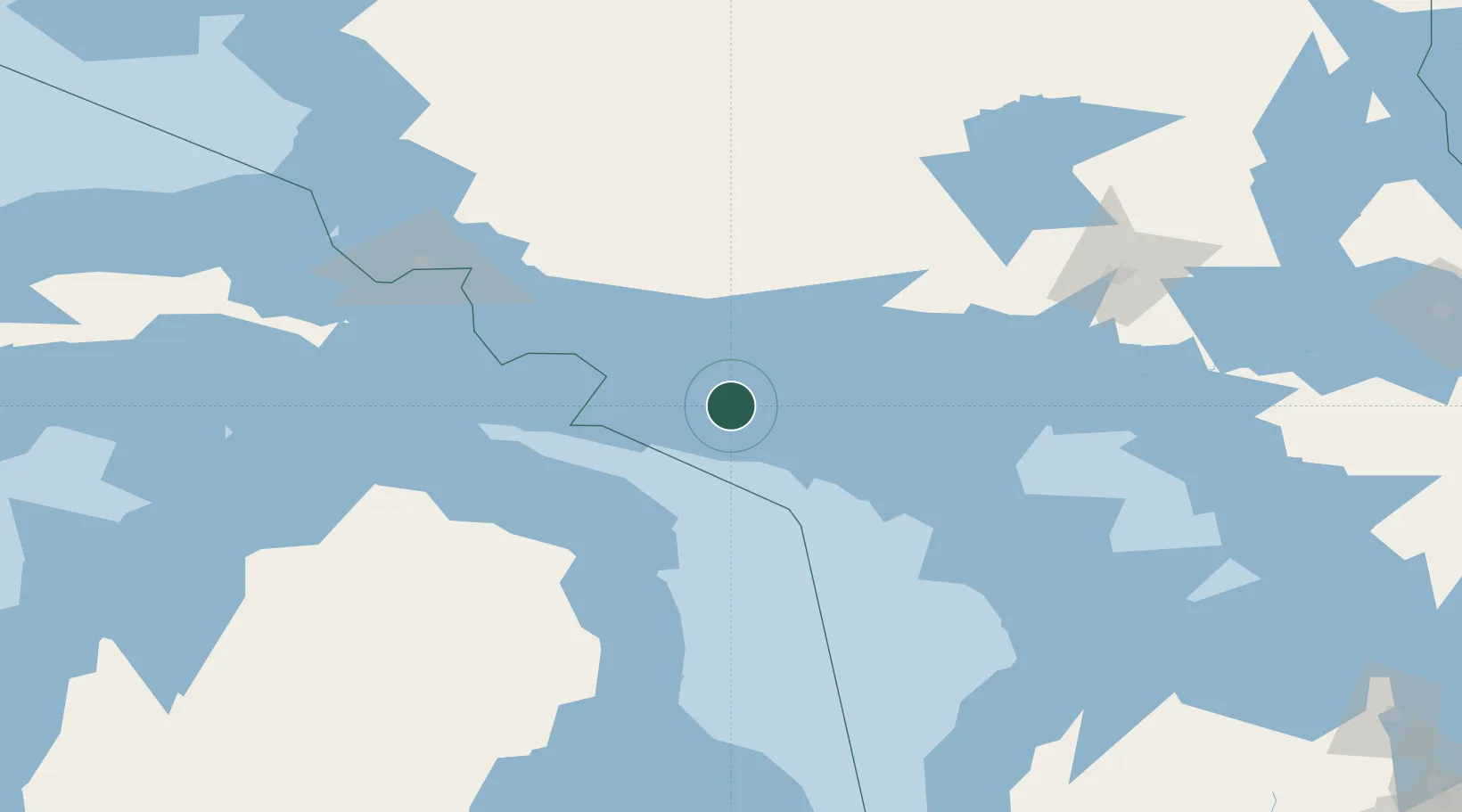
Hub Profile
Place type
Populated place
Region
Ontario
Time zone
America/Toronto
Elevation
233 m
Location
Nearby Logistics Neighbours
Cities
- 1Mindemoya56 km
- 2Presque Isle78 km
- 3De Tour Village81 km
- 4Calcite88 km
- 5Posen93 km
Ports
- 1Meldrum Bay21 km
- 2Gore Bay32 km
- 3Blind River36 km
- 4Thessalon69 km
- 5Little Current73 km
Airports
Trade Zones
- 1FTZ No. 016 Sault Ste. Marie137 km
- 2FTZ No. 140 Flint325 km
- 3FTZ No. 284 Genesee County330 km
- 4FTZ No. 210 St. Clair County339 km
- 5FTZ No. 101 Clinton County357 km
DatabookThe Record of Consolidated Knowledge
Canada beyond logistics?