Channel & Berth Profile
Pilotage, Tugs & Services
Pilotage availableYES
Tug assistanceNO
Salvage tugsNO
Potable waterYES
Diesel bunkersYES
MedicalYES
Facilities & Capabilities
Container—
Ro-Ro—
Liquid bulk—
Dry bulk—
Oil terminal—
Break bulk—
Dry dock—
RepairsNO
BunkeringNO
Rail link—
Dangerous cargo—
ISPS security—
Harbour Specifications
Harbour size
Very Small
Harbour type
Coastal (Breakwater)
Shelter
Fair
Water body
Lake Superior; Great Lakes
Overhead limit
Yes
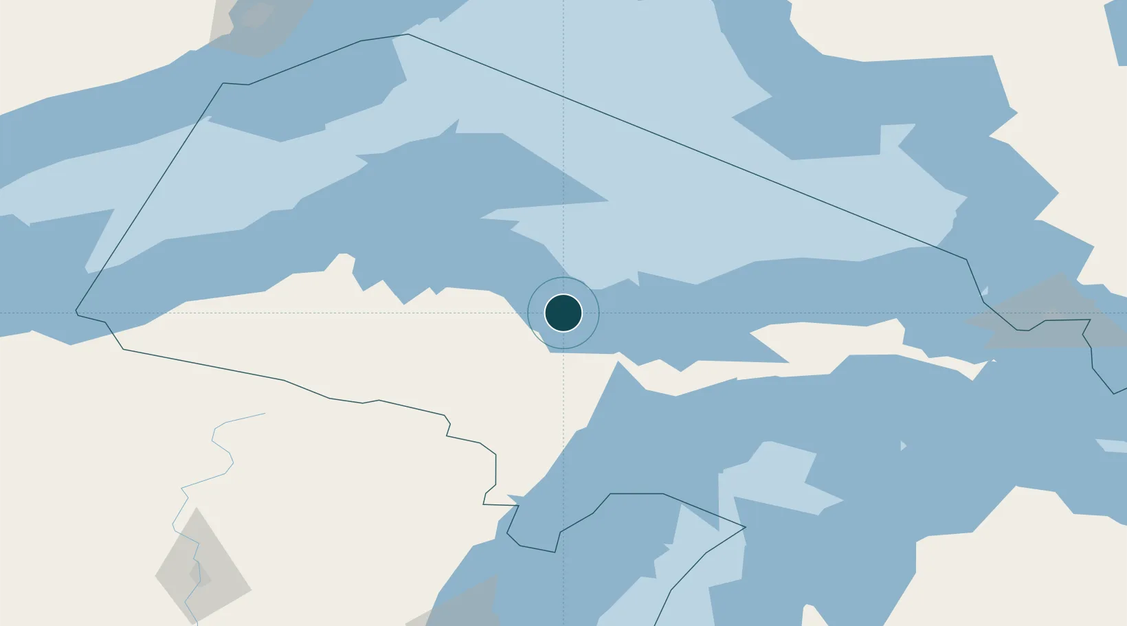
Location
Nearby Logistics Neighbours
Airports
- 1Marquette/Sawyer International Airport24 km
- 2Delta County Airport97 km
- 3Ford Airport100 km
- 4Houghton County Memorial Airport107 km
- 5Beaver Island Airport170 km
Trade Zones
- 1FTZ No. 016 Sault Ste. Marie228 km
- 2FTZ No. 167 Brown County245 km
- 3FTZ No. 019 Omaha367 km
- 4FTZ No. 189 Kent Ottawa/Muskegon Counties380 km
- 5FTZ No. 041 Milwaukee394 km
DatabookThe Record of Consolidated Knowledge
United States beyond logistics?