Medium airport · Canada

Elliot Lake Municipal AirportCYEL
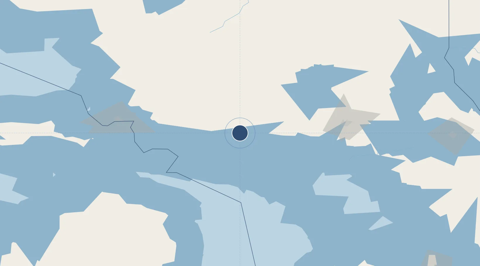
46.3514°, -82.5614°
4,500 ft
Longest runway
1
Runways
1,087 ft
Elevation

Runway & Layout

Elliot Lake Municipal Airport runway & taxiway layout
Runway & taxiway layout — OpenStreetMap (ODbL) / OurAirports

Radio Frequencies

CNTR
135.4 MHz
TORONTO CNTR
UNIC
123 MHz
ATF/UNICOM
OurAirports

Navaids

YEL NDB Elliot Lake 276 kHz
OurAirports

Runways · 1

RunwayDimensions SurfaceTrue headingLit
12/30 4,500 × 100ft Asphalt 112°
OurAirports

Airport Specifications

IATA code
YEL
OurAirports
ICAO code
CYEL
OurAirports
Airport class
Medium airport
OurAirports
Scheduled service
No
OurAirports
Runway surface
Asphalt
OurAirports
Served city
Elliot Lake
OurAirports

Location

Location of CYEL
Natural Earth 10m (public domain) · Ontario · CYEL · 46.35, -82.56GoogleOSMYandex

Nearby Logistics Neighbours

Airports
  1. 1Gore Bay Manitoulin Airport52 km
  2. 2Manitoulin East Municipal Airport78 km
  3. 3Sudbury Airport138 km
  4. 4Chippewa County International Airport147 km
  5. 5Sault Ste Marie Airport150 km
Nearest neighbours — logibook spatial index (haversine) over the source coordinates
Cities
  1. 1Silver Water59 km
  2. 2Mindemoya75 km
  3. 3Cartier87 km
  4. 4Onaping93 km
  5. 5Lively109 km
Nearest neighbours — logibook spatial index (haversine) over the source coordinates
Ports
  1. 1Blind River35 km
  2. 2Gore Bay49 km
  3. 3Meldrum Bay63 km
  4. 4Little Current63 km
  5. 5Thessalon78 km
Nearest neighbours — logibook spatial index (haversine) over the source coordinates
Trade Zones
  1. 1FTZ No. 016 Sault Ste. Marie142 km
  2. 2FTZ No. 140 Flint383 km
  3. 3FTZ No. 284 Genesee County389 km
  4. 4FTZ No. 210 St. Clair County391 km
  5. 5FTZ No. 101 Clinton County416 km
Nearest neighbours — logibook spatial index (haversine) over the source coordinates
DatabookThe Record of Consolidated Knowledge
Canada beyond logistics?
Browse databook

All Sources

AirportsOurAirports
Public domain
Portsthe NGA World Port Index
Public domain (US gov)
LocationsUN/LOCODE
UN/LOCODE — free
Trade Zonesthe World Bank SEZ database
CC BY 4.0
Trade ZonesOpen Zone Map
CC BY
InfrastructureOpenStreetMap
ODbL 1.0
← Canada airports