Transport Functions
Port
Hub Profile
Place type
Populated place
Region
Iowa
Population
1,085
Time zone
America/Chicago
Elevation
328 m
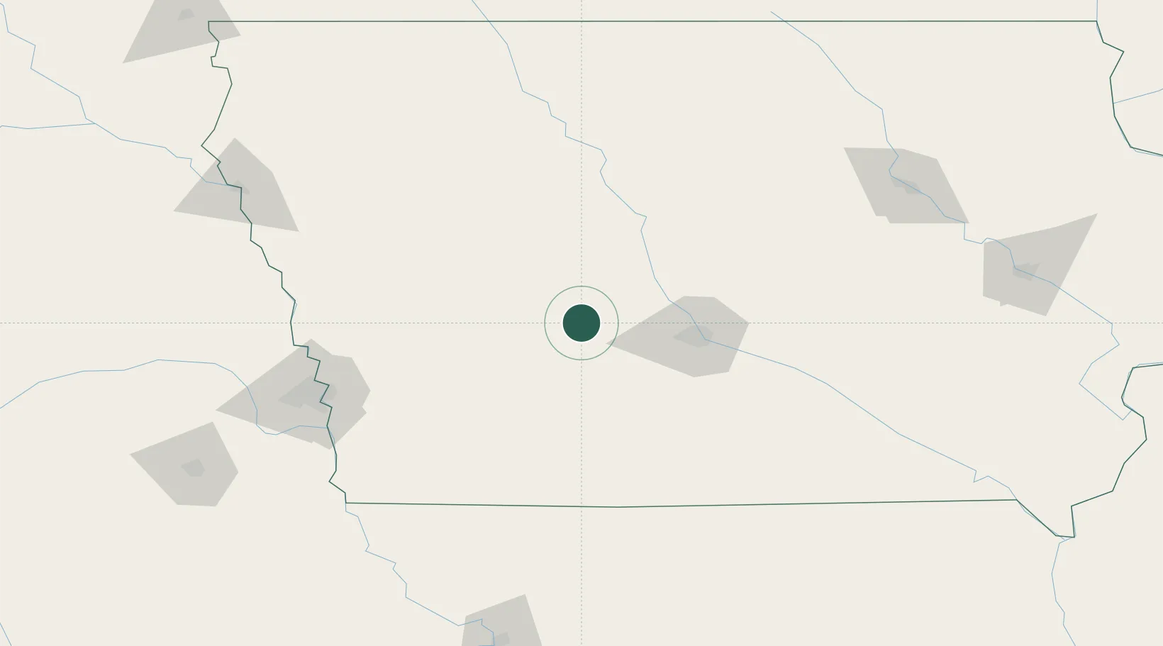
Location
Nearby Logistics Neighbours
Cities
- 1Dallas Center33 km
- 2Scranton40 km
- 3Ralston47 km
- 4Ogden48 km
- 5Paton53 km
Airports
- 1Des Moines International Airport60 km
- 2Fort Dodge Regional Airport98 km
- 3Eppley Airfield135 km
- 4Offutt Air Force Base144 km
- 5Ottumwa Regional Airport171 km
Trade Zones
- 1FTZ No. 107 Polk County53 km
- 2FTZ No. 175 Cedar Rapids213 km
- 3FTZ No. 288 Northwest Iowa217 km
- 4FTZ No. 059 Lincoln230 km
- 5FTZ No. 133 Quad-Cities, Iowa Illinois238 km
DatabookThe Record of Consolidated Knowledge
United States beyond logistics?