Transport Functions
Rail
Road
Multimodal
Hub Profile
Place type
Populated place
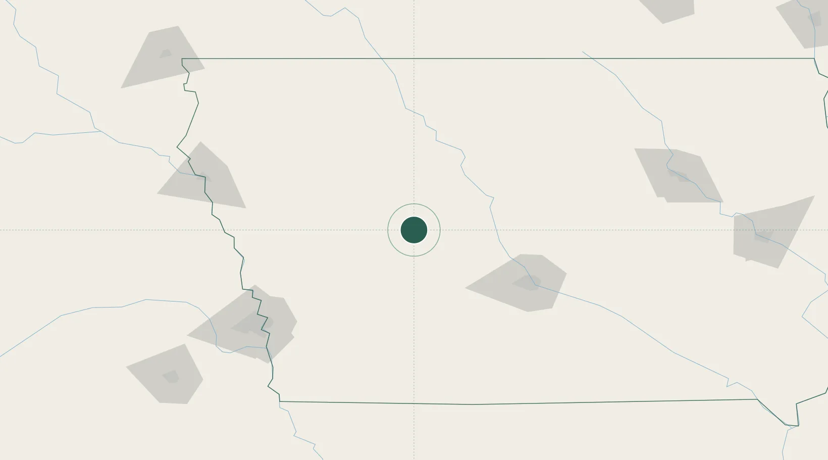
Region
Iowa
Population
75
Time zone
America/Chicago
Elevation
344 m
Location
Nearby Logistics Neighbours
Cities
- 1Scranton9 km
- 2Templeton30 km
- 3Paton34 km
- 4Rockwell City37 km
- 5Westside37 km
Airports
Trade Zones
- 1FTZ No. 107 Polk County87 km
- 2FTZ No. 288 Northwest Iowa171 km
- 3FTZ No. 059 Lincoln230 km
- 4FTZ No. 175 Cedar Rapids234 km
- 5FTZ No. 220 Sioux Falls243 km
DatabookThe Record of Consolidated Knowledge
United States beyond logistics?