Transport Functions
Road
Multimodal
Hub Profile
Place type
Populated place
Region
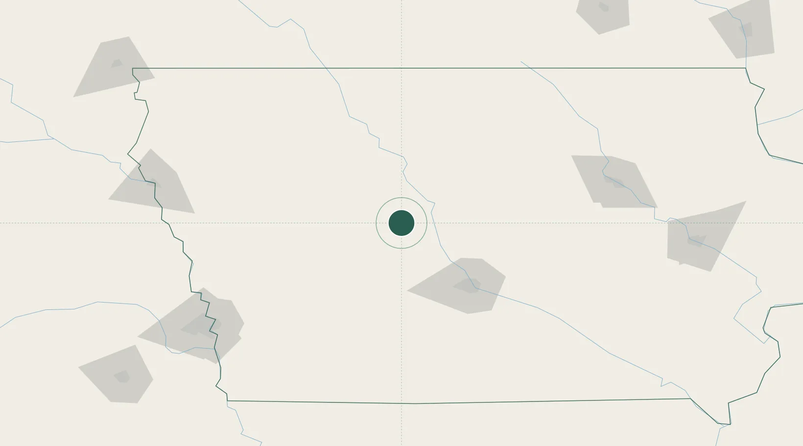
Iowa
Population
229
Time zone
America/Chicago
Elevation
336 m
Location
Nearby Logistics Neighbours
Cities
- 1Ogden23 km
- 2Scranton28 km
- 3Ralston34 km
- 4Rockwell City41 km
- 5Ellsworth45 km
Airports
- 1Fort Dodge Regional Airport45 km
- 2Des Moines International Airport84 km
- 3Mason City Municipal Airport135 km
- 4Waterloo Regional Airport159 km
- 5Eppley Airfield166 km
Trade Zones
- 1FTZ No. 107 Polk County69 km
- 2FTZ No. 288 Northwest Iowa187 km
- 3FTZ No. 175 Cedar Rapids203 km
- 4FTZ No. 220 Sioux Falls259 km
- 5FTZ No. 059 Lincoln262 km
DatabookThe Record of Consolidated Knowledge
United States beyond logistics?