Foreign Trade Zone · United States

FTZ No. 288 Northwest Iowa Active
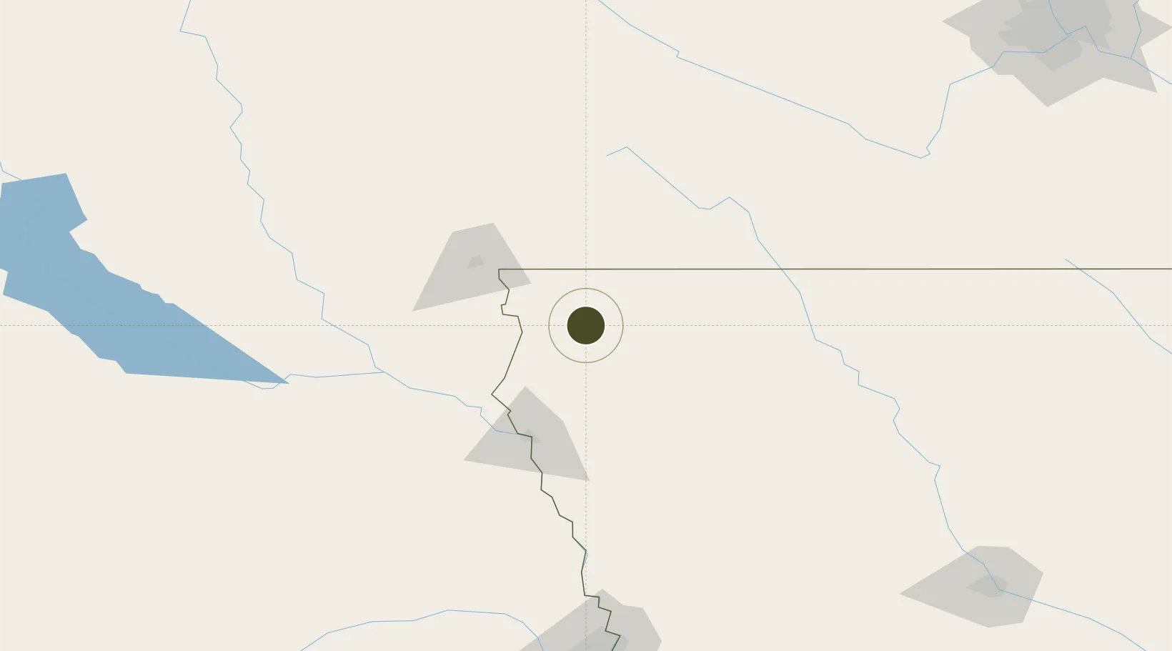
43.1623°, -96.0744°
507.0 km
Nearest port
71.5 km
Nearest airport

Gateway access

Nearest neighbours — logibook spatial index (haversine) over the source coordinates

Zone profile

Zone type
Foreign Trade Zone
Open Zone Map
Region
Iowa
Open Zone Map
Status
Active
Open Zone Map
Management
Public-Private Partnership
Open Zone Map
Operator
Northwest Iowa Development Corporation
Open Zone Map
Legal framework
Foreign-Trade Zones Act
Open Zone Map

Location

Location of ozm-4958
Natural Earth 10m (public domain) · Iowa · ozm-4958 · 43.16, -96.07GoogleOSMYandex

Nearby Logistics Neighbours

Ports
  1. 1Superior507 km
  2. 2Duluth508 km
  3. 3Two Harbors552 km
  4. 4Ashland561 km
  5. 5Washburn565 km
Nearest neighbours — logibook spatial index (haversine) over the source coordinates
Airports
  1. 1Sioux Falls Regional Airport72 km
  2. 2Sioux Gateway Airport / Brigadier General Bud Day Field89 km
  3. 3Chan Gurney Municipal Airport110 km
  4. 4Fort Dodge Regional Airport168 km
  5. 5Karl Stefan Memorial Airport172 km
Nearest neighbours — logibook spatial index (haversine) over the source coordinates
Cities
  1. 1Hull5 km
  2. 2Boyden7 km
  3. 3Hospers18 km
  4. 4Rock Valley19 km
  5. 5Inwood34 km
Nearest neighbours — logibook spatial index (haversine) over the source coordinates
Trade Zones
  1. 1FTZ No. 220 Sioux Falls73 km
  2. 2FTZ No. 107 Polk County255 km
  3. 3FTZ No. 059 Lincoln270 km
  4. 4FTZ No. 119 Minneapolis-St. Paul303 km
  5. 5FTZ No. 133 Quad-Cities, Iowa Illinois336 km
Nearest neighbours — logibook spatial index (haversine) over the source coordinates
DatabookThe Record of Consolidated Knowledge
United States beyond logistics?
Browse databook

All Sources

Trade ZonesOpen Zone Map
CC BY
Portsthe NGA World Port Index
Public domain (US gov)
AirportsOurAirports
Public domain
LocationsUN/LOCODE
UN/LOCODE — free
← United States trade zones