Transport Functions
Rail
Road
Multimodal
Hub Profile
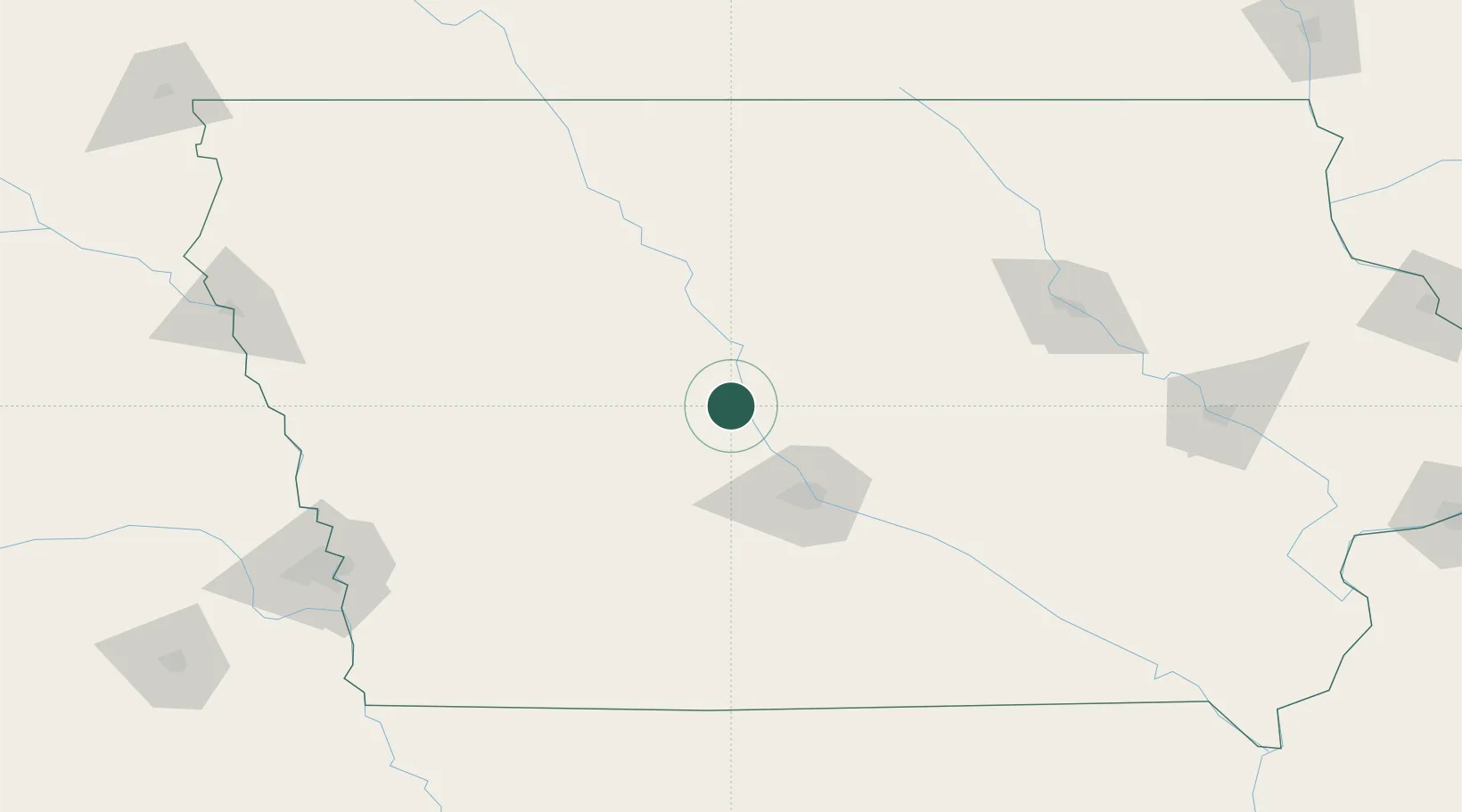
Place type
Populated place
Region
Iowa
Population
2,041
Time zone
America/Chicago
Elevation
338 m
Location
Nearby Logistics Neighbours
Cities
- 1Paton23 km
- 2Ellsworth38 km
- 3Dallas Center39 km
- 4Jewell42 km
- 5Scranton43 km
Airports
Trade Zones
- 1FTZ No. 107 Polk County47 km
- 2FTZ No. 175 Cedar Rapids183 km
- 3FTZ No. 288 Northwest Iowa210 km
- 4FTZ No. 059 Lincoln272 km
- 5FTZ No. 055 Burlington279 km
DatabookThe Record of Consolidated Knowledge
United States beyond logistics?