UN/LOCODE hub · United States
USDC6
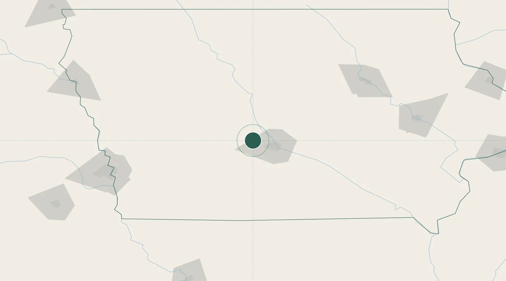
Dallas Center
41.6833°, -93.9500°
1,792
Population
2
Transport functions
Transport Functions
Port
Road
Hub Profile
Place type
Populated place
Region
Iowa
Population
1,792
Time zone
America/Chicago
Elevation
326 m
Location
Nearby Logistics Neighbours
Cities
- 1Clive22 km
- 2Johnston22 km
- 3Des Moines30 km
- 4Panora33 km
- 5Pleasant Hill38 km
Ports
- 1Great Lakes510 km
- 2Waukegan512 km
- 3Kenosha515 km
- 4Milwaukee521 km
- 5Wilmette521 km
Airports
- 1Des Moines International Airport30 km
- 2Fort Dodge Regional Airport99 km
- 3Ottumwa Regional Airport141 km
- 4Waterloo Regional Airport161 km
- 5Eppley Airfield167 km
Trade Zones
- 1FTZ No. 107 Polk County20 km
- 2FTZ No. 175 Cedar Rapids181 km
- 3FTZ No. 288 Northwest Iowa240 km
- 4FTZ No. 055 Burlington257 km
- 5FTZ No. 059 Lincoln260 km
DatabookThe Record of Consolidated Knowledge
United States beyond logistics?