Transport Functions
Rail
Road
Hub Profile
Place type
Populated place
Region
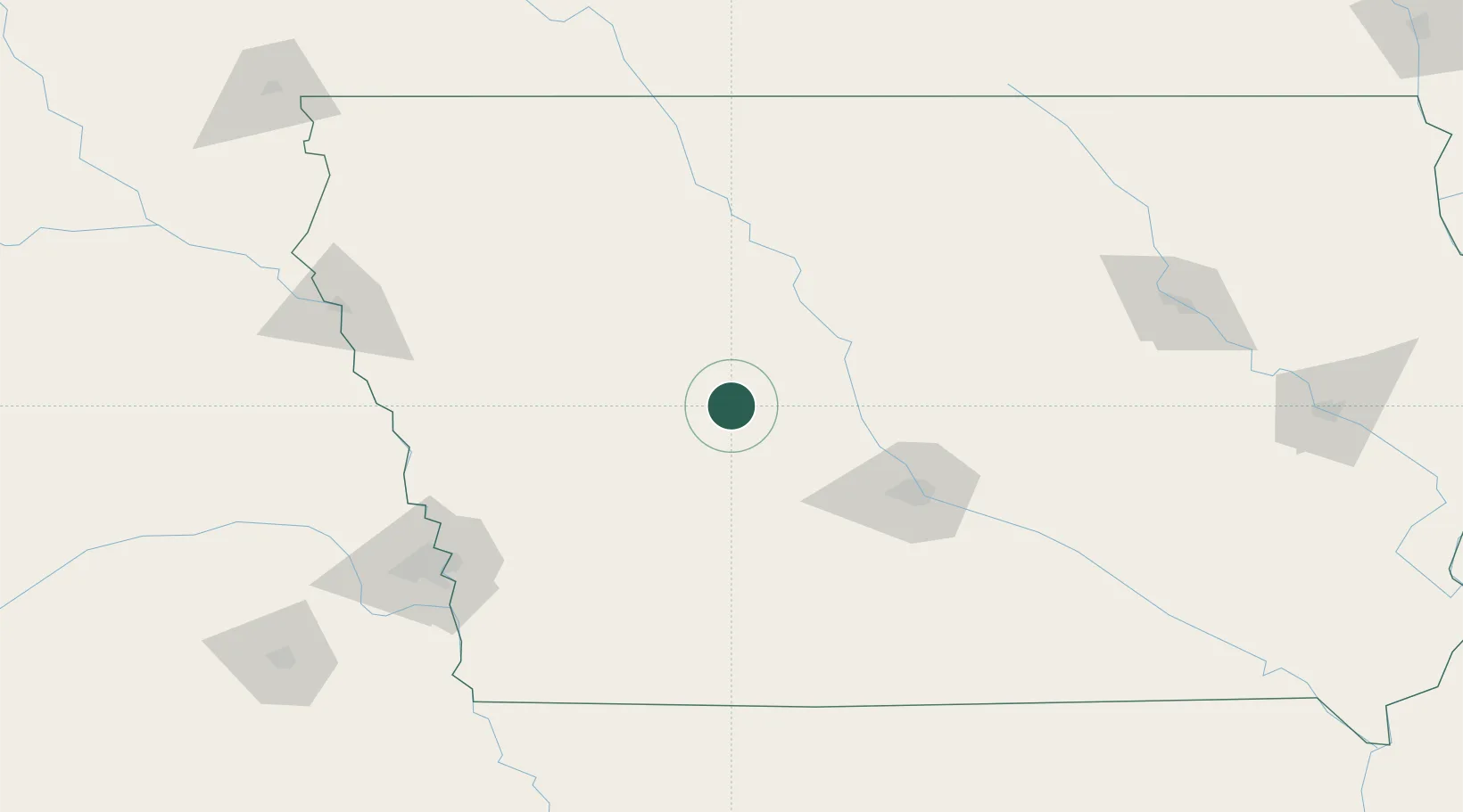
Iowa
Population
530
Time zone
America/Chicago
Elevation
359 m
Location
Nearby Logistics Neighbours
Cities
- 1Ralston9 km
- 2Paton28 km
- 3Templeton36 km
- 4Panora40 km
- 5Rockwell City42 km
Airports
Trade Zones
- 1FTZ No. 107 Polk County78 km
- 2FTZ No. 288 Northwest Iowa179 km
- 3FTZ No. 175 Cedar Rapids226 km
- 4FTZ No. 059 Lincoln235 km
- 5FTZ No. 220 Sioux Falls251 km
DatabookThe Record of Consolidated Knowledge
United States beyond logistics?