UN/LOCODE hub · United States
USDEB
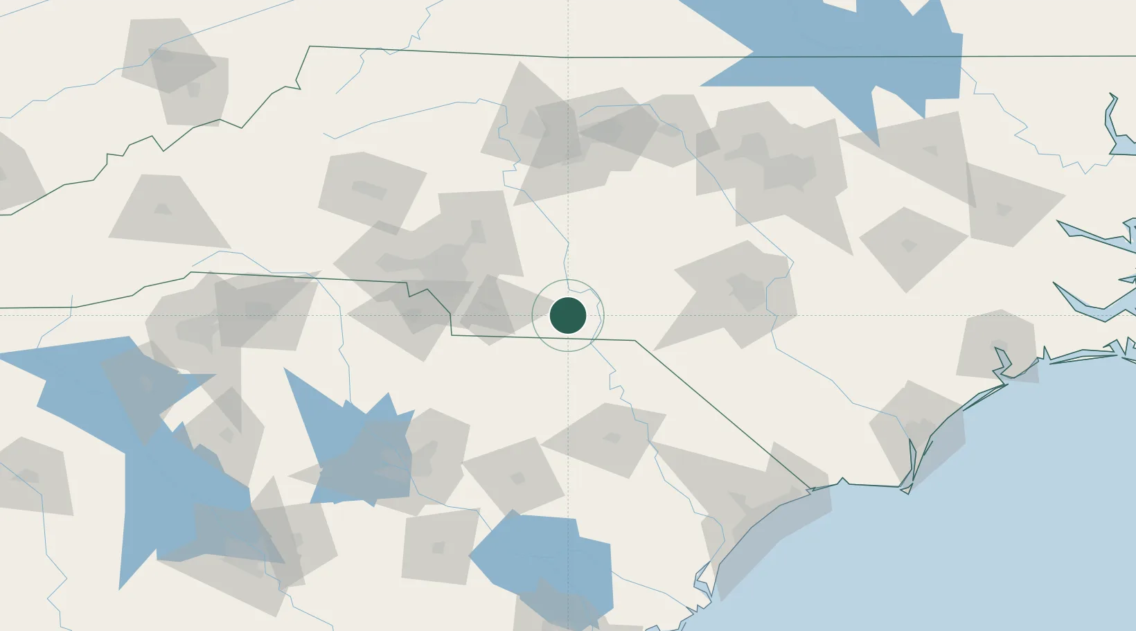
Wadesboro
34.9500°, -80.0667°
5,584
Population
2
Transport functions
Transport Functions
Rail
Road
Hub Profile
Place type
Provincial seat
Region
North Carolina
Population
5,584
Time zone
America/New_York
Elevation
156 m
Location
Nearby Logistics Neighbours
Cities
- 1Lilesville8 km
- 2Polkton13 km
- 3Ansonville17 km
- 4Cordova23 km
- 5Ruby26 km
Ports
- 1Georgetown190 km
- 2Wilmington210 km
- 3Southport220 km
- 4Wrightsville222 km
- 5Charleston241 km
Airports
Trade Zones
DatabookThe Record of Consolidated Knowledge
United States beyond logistics?