UN/LOCODE hub · United States
USLV4
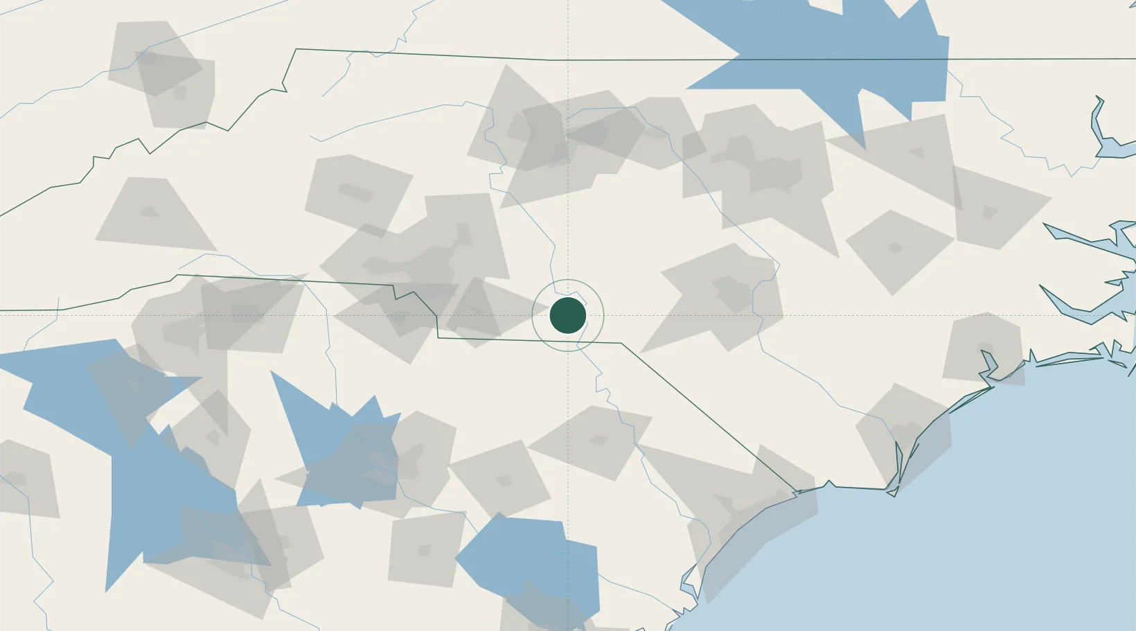
Lilesville
34.9667°, -79.9833°
505
Population
3
Transport functions
Transport Functions
Rail
Road
Multimodal
Hub Profile
Place type
Populated place
Region
North Carolina
Population
505
Time zone
America/New_York
Elevation
152 m
Location
Nearby Logistics Neighbours
Cities
- 1Wadesboro8 km
- 2Cordova16 km
- 3Ansonville18 km
- 4Polkton20 km
- 5Ellerbe23 km
Ports
- 1Georgetown189 km
- 2Wilmington203 km
- 3Southport215 km
- 4Wrightsville215 km
- 5Charleston243 km
Airports
Trade Zones
- 1FTZ No. 057 Mecklenburg County105 km
- 2FTZ No. 230 Piedmont Triad Area137 km
- 3FTZ No. 093 Raleigh Durham143 km
- 4FTZ No. 127 West Columbia151 km
- 5FTZ No. 214 Lenoir County192 km
DatabookThe Record of Consolidated Knowledge
United States beyond logistics?