Transport Functions
Road
Multimodal
Hub Profile
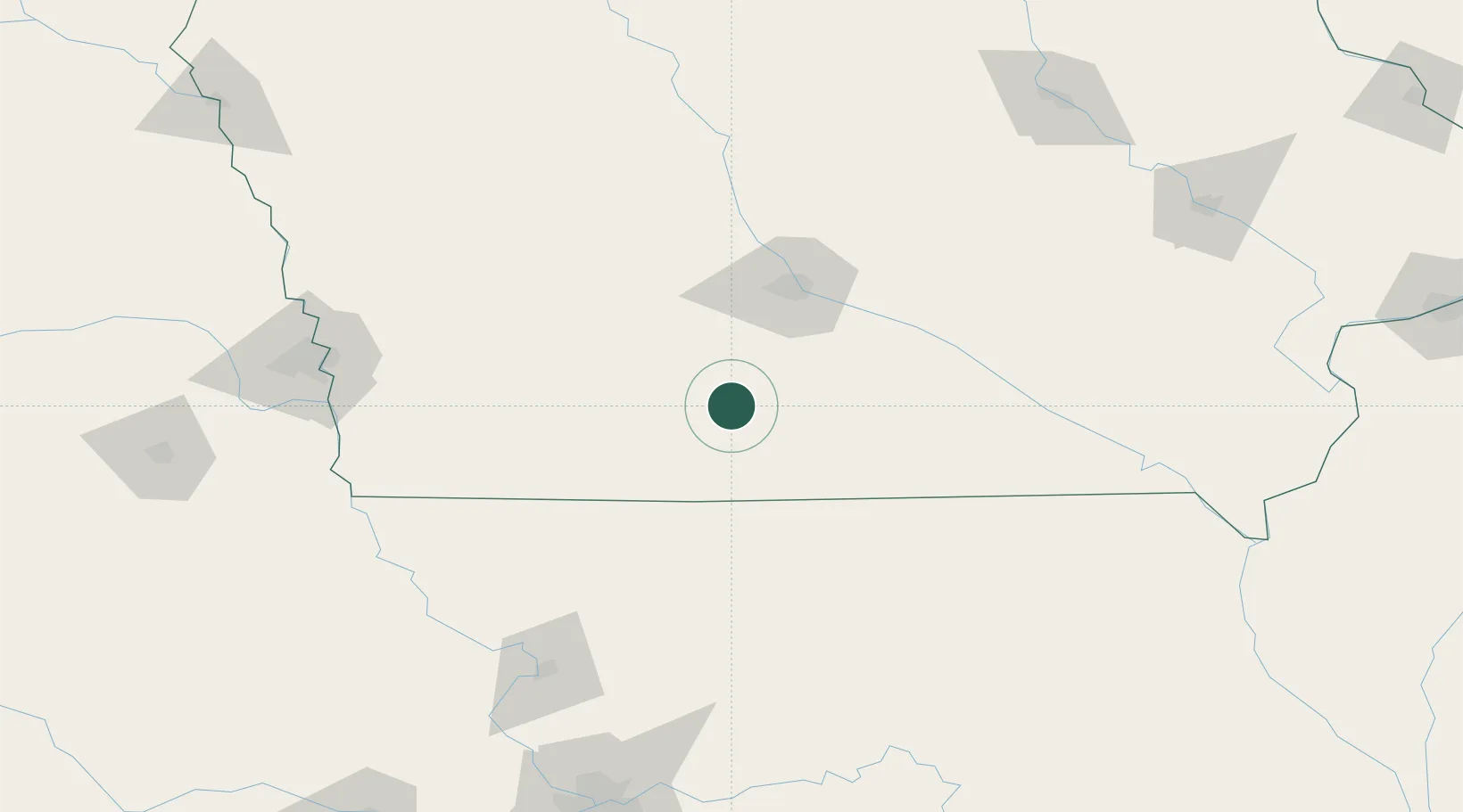
Place type
Populated place
Region
Iowa
Population
735
Time zone
America/Chicago
Elevation
371 m
Location
Nearby Logistics Neighbours
Ports
- 1Great Lakes527 km
- 2Waukegan530 km
- 3Wilmette534 km
- 4Kenosha537 km
- 5Chicago537 km
Airports
- 1Des Moines International Airport61 km
- 2Ottumwa Regional Airport126 km
- 3Kirksville Regional Airport158 km
- 4Rosecrans Memorial Airport162 km
- 5Offutt Air Force Base164 km
Trade Zones
- 1FTZ No. 107 Polk County74 km
- 2FTZ No. 175 Cedar Rapids207 km
- 3FTZ No. 133 Quad-Cities, Iowa Illinois223 km
- 4FTZ No. 017 Kansas City229 km
- 5FTZ No. 055 Burlington241 km
DatabookThe Record of Consolidated Knowledge
United States beyond logistics?