UN/LOCODE hub · United States
USCE5
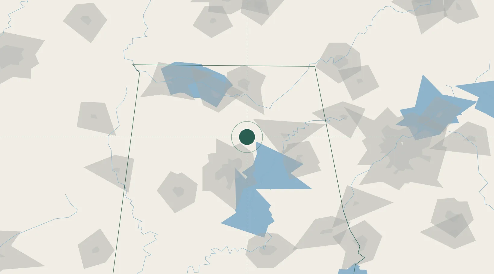
Cleveland
33.9833°, -86.5667°
1,315
Population
1
Transport functions
Transport Functions
Multimodal
Hub Profile
Place type
Populated place
Region
Alabama
Population
1,315
Time zone
America/Chicago
Elevation
160 m
Location
Nearby Logistics Neighbours
Cities
- 1Oneonta9 km
- 2Garden City17 km
- 3Warrior30 km
- 4Morris35 km
- 5Steele36 km
Ports
- 1Port Of Memphis351 km
- 2Mobile395 km
- 3Pensacola403 km
- 4Panama City437 km
- 5Pascagoula446 km
Airports
Trade Zones
DatabookThe Record of Consolidated Knowledge
United States beyond logistics?