Transport Functions
Road
Multimodal
Hub Profile
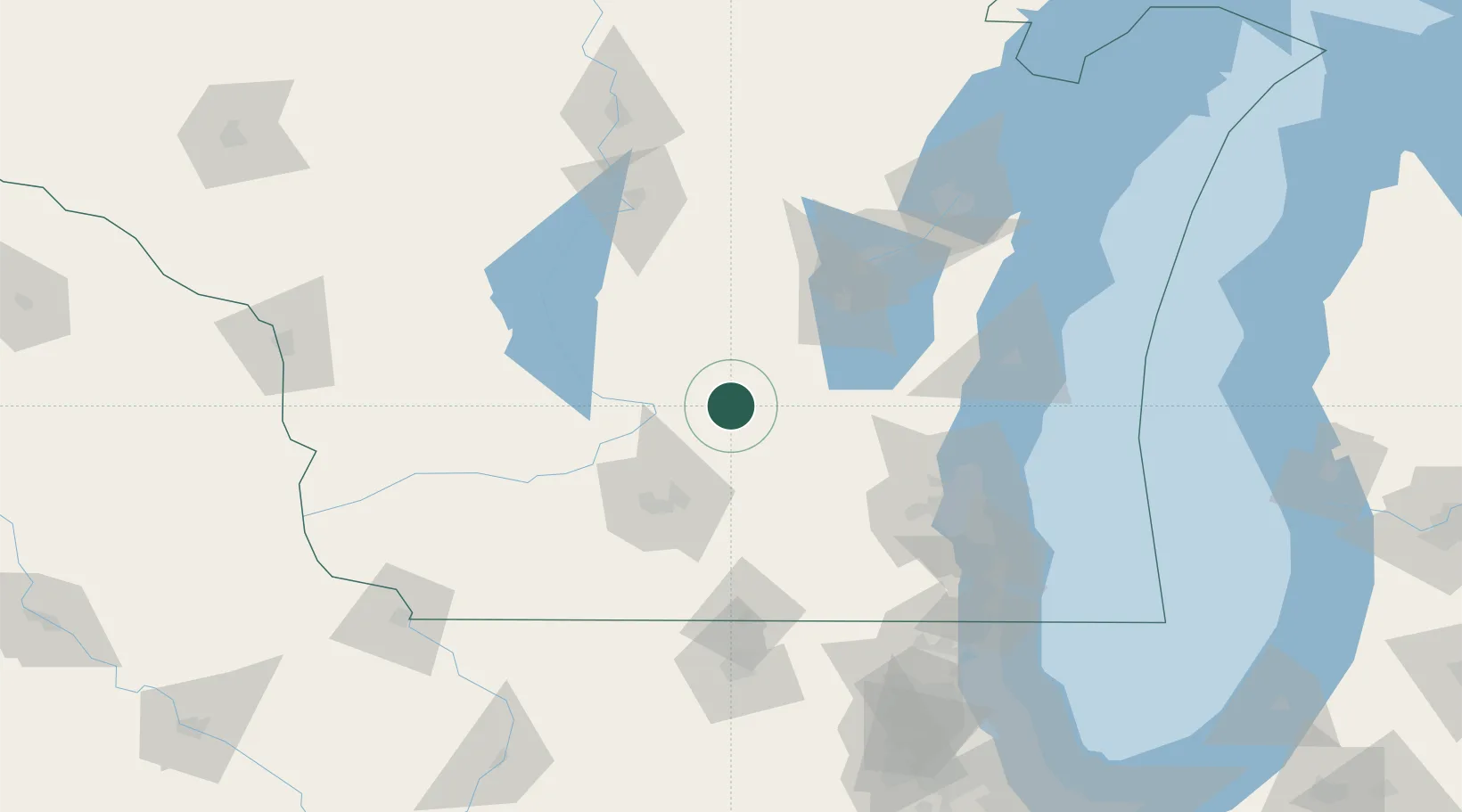
Place type
Populated place
Region
Wisconsin
Population
754
Time zone
America/Chicago
Elevation
279 m
Location
Nearby Logistics Neighbours
Cities
- 1Rio14 km
- 2Fox Lake16 km
- 3Montello33 km
- 4Reeseville34 km
- 5Clyman39 km
Ports
- 1Port Washington101 km
- 2Kaukauna107 km
- 3Milwaukee113 km
- 4Sheboygan115 km
- 5Manitowoc132 km
Airports
Trade Zones
- 1FTZ No. 266 Dane County71 km
- 2FTZ No. 041 Milwaukee96 km
- 3FTZ No. 167 Brown County122 km
- 4FTZ No. 176 Rockford143 km
- 5FTZ No. 271 Jo-Daviess and Carroll Counties164 km
DatabookThe Record of Consolidated Knowledge
United States beyond logistics?