Transport Functions
Port
Multimodal
Hub Profile
Place type
Populated place
Region
Wisconsin
Population
1,044
Time zone
America/Chicago
Elevation
284 m
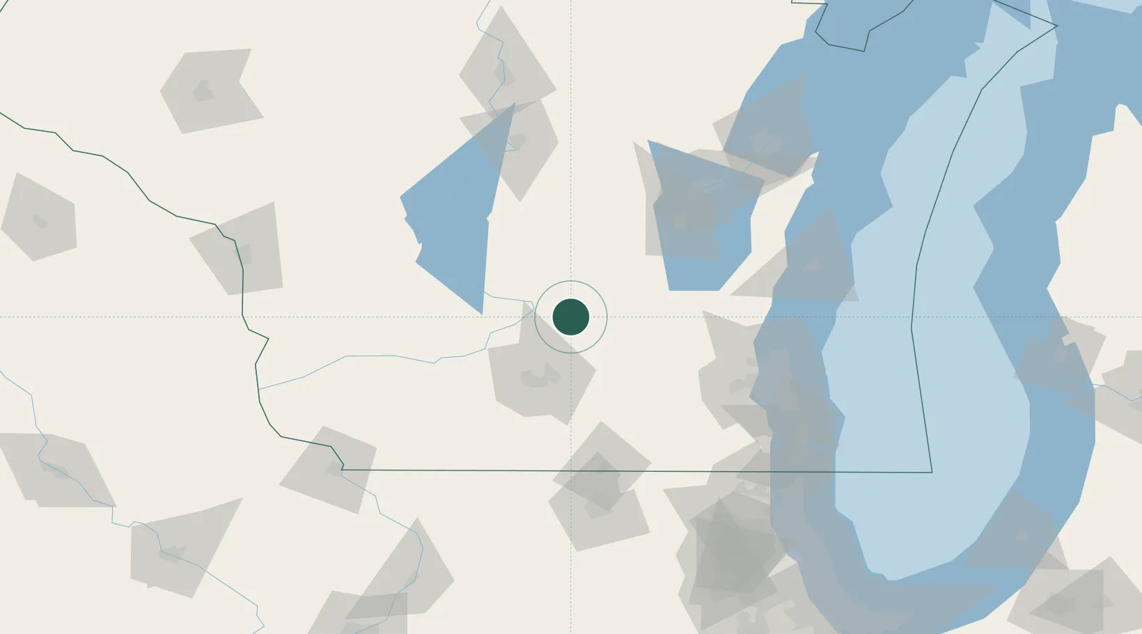
Location
Nearby Logistics Neighbours
Ports
- 1Port Washington111 km
- 2Milwaukee119 km
- 3Kaukauna121 km
- 4Sheboygan128 km
- 5Racine142 km
Airports
Trade Zones
- 1FTZ No. 266 Dane County57 km
- 2FTZ No. 041 Milwaukee101 km
- 3FTZ No. 176 Rockford133 km
- 4FTZ No. 167 Brown County136 km
- 5FTZ No. 271 Jo-Daviess and Carroll Counties151 km
DatabookThe Record of Consolidated Knowledge
United States beyond logistics?