Transport Functions
Road
Multimodal
Hub Profile
Place type
Provincial seat
Region
Kansas
Population
806
Time zone
America/Chicago
Elevation
642 m
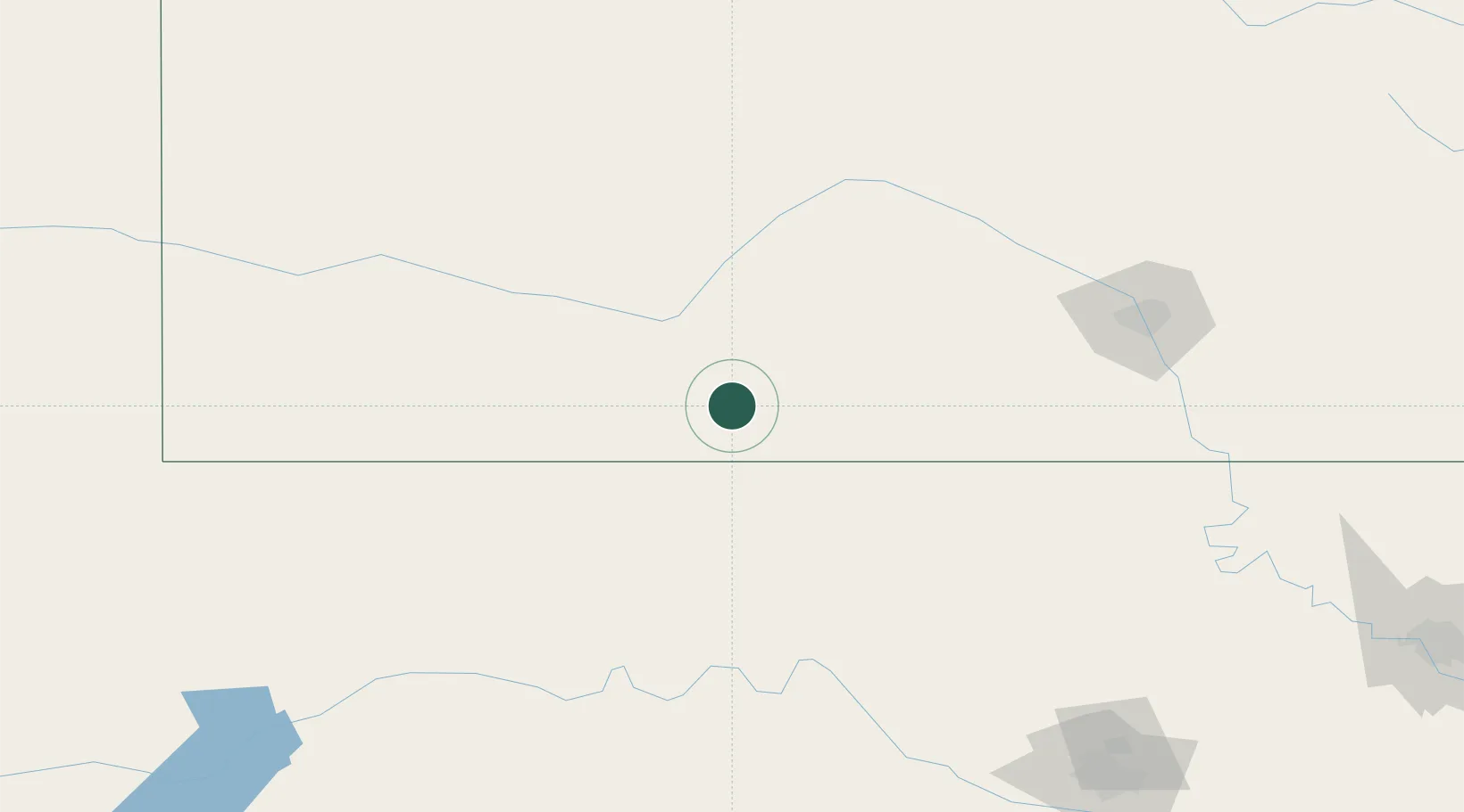
Location
Nearby Logistics Neighbours
Cities
- 1Greensburg37 km
- 2Lake City45 km
- 3Medicine Lodge65 km
- 4Alva79 km
- 5Mooreland91 km
Ports
- 1Port Of Memphis857 km
- 2Deer Park914 km
- 3Houston915 km
- 4Pasadena921 km
- 5Baytown927 km
Airports
Trade Zones
- 1FTZ No. 161 Sedgwick County145 km
- 2FTZ No. 106 Oklahoma City257 km
- 3FTZ No. 252 Amarillo325 km
- 4FTZ No. 053 Rogers County325 km
- 5FTZ No. 164 Muskogee386 km
DatabookThe Record of Consolidated Knowledge
United States beyond logistics?