UN/LOCODE hub · United States
USOII
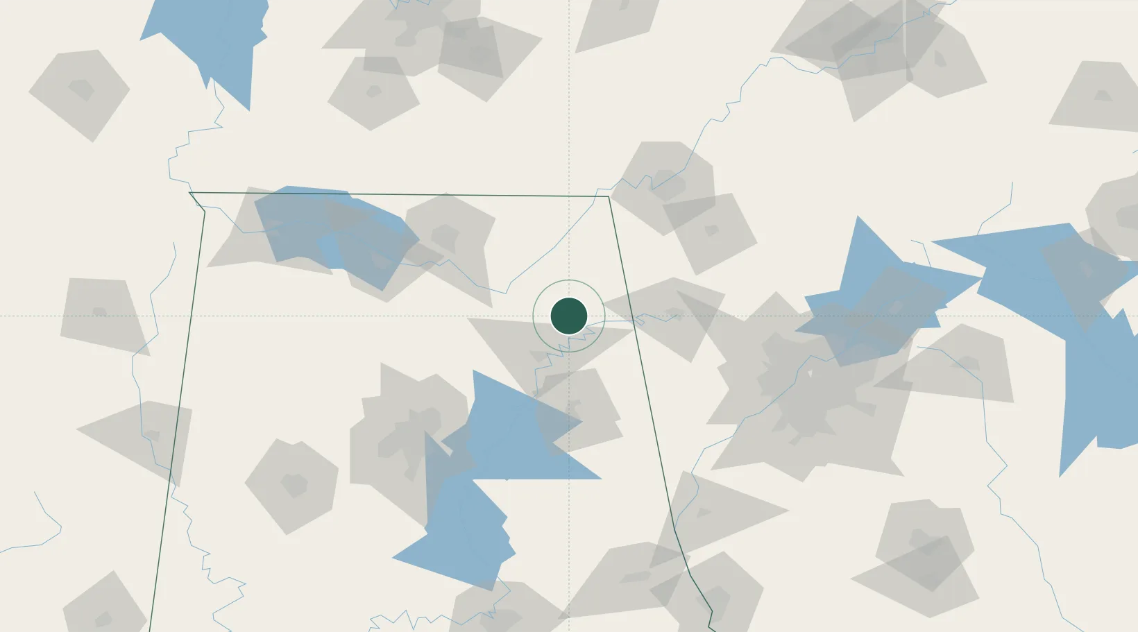
Collinsville
34.2500°, -85.8500°
1,973
Population
2
Transport functions
Transport Functions
Road
Multimodal
Hub Profile
Place type
Populated place
Region
Alabama
Population
1,973
Time zone
America/Chicago
Elevation
214 m
Location
Nearby Logistics Neighbours
Cities
- 1Cedar Bluff24 km
- 2Rainsville26 km
- 3Boaz28 km
- 4Glencoe34 km
- 5Rainbow City37 km
Ports
- 1Pensacola447 km
- 2Mobile450 km
- 3Panama City458 km
- 4Pascagoula503 km
- 5Savannah505 km
Airports
Trade Zones
- 1FTZ No. 083 Huntsville95 km
- 2FTZ No. 134 Chattanooga104 km
- 3FTZ No. 270 Lawrence County107 km
- 4FTZ No. 265 Conroe (Montgomery County)111 km
- 5FTZ No. 098 Birmingham120 km
DatabookThe Record of Consolidated Knowledge
United States beyond logistics?