UN/LOCODE hub · United States
USGUE
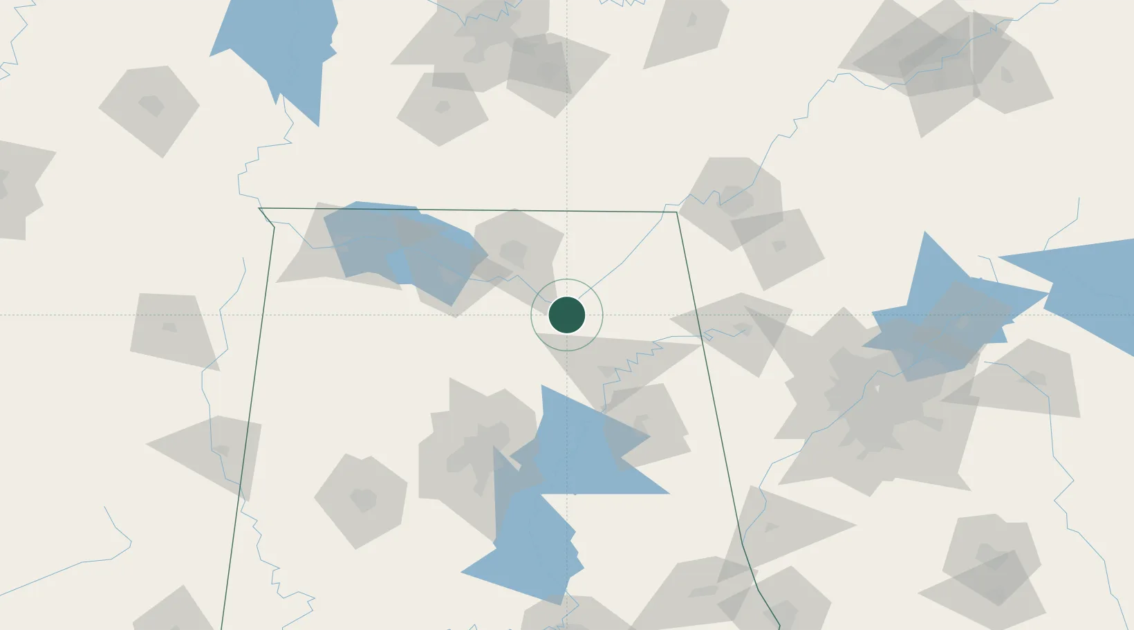
Guntersville
34.3500°, -86.2833°
8,385
Population
3
Transport functions
Transport Functions
Rail
Road
Multimodal
Hub Profile
Place type
Provincial seat
Region
Alabama
Population
8,385
Time zone
America/Chicago
Elevation
194 m
Location
Nearby Logistics Neighbours
Cities
- 1Grant21 km
- 2Boaz21 km
- 3Gurley40 km
- 4Collinsville41 km
- 5Rainsville44 km
Ports
- 1Port Of Memphis364 km
- 2Mobile442 km
- 3Pensacola448 km
- 4Panama City473 km
- 5Pascagoula494 km
Airports
Trade Zones
DatabookThe Record of Consolidated Knowledge
United States beyond logistics?