Transport Functions
Road
Multimodal
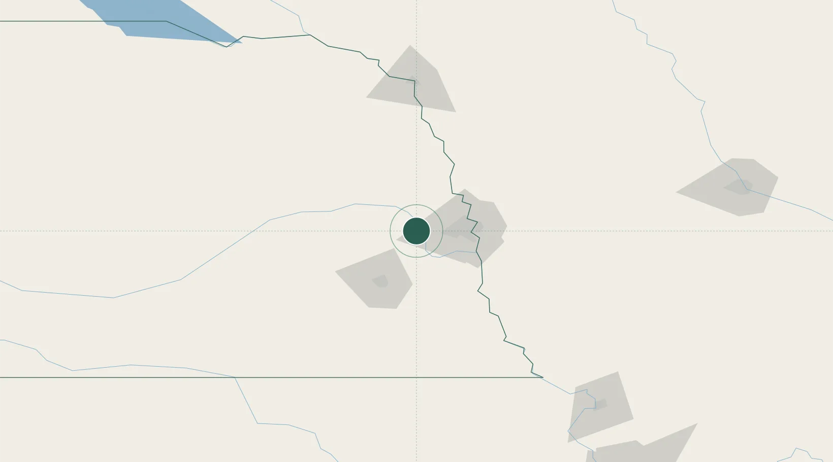
Hub Profile
Place type
Populated place
Region
Nebraska
Population
1,212
Time zone
America/Chicago
Elevation
356 m
Location
Nearby Logistics Neighbours
Ports
- 1Superior702 km
- 2Duluth704 km
- 3Ashland742 km
- 4Kaukauna744 km
- 5Two Harbors746 km
Airports
- 1Eppley Airfield42 km
- 2Offutt Air Force Base42 km
- 3Lincoln Airport54 km
- 4Columbus Municipal Airport83 km
- 5Karl Stefan Memorial Airport121 km
Trade Zones
- 1FTZ No. 059 Lincoln61 km
- 2FTZ No. 133 Quad-Cities, Iowa Illinois121 km
- 3FTZ No. 288 Northwest Iowa216 km
- 4FTZ No. 107 Polk County228 km
- 5FTZ No. 220 Sioux Falls260 km
DatabookThe Record of Consolidated Knowledge
United States beyond logistics?