Transport Functions
Road
Multimodal
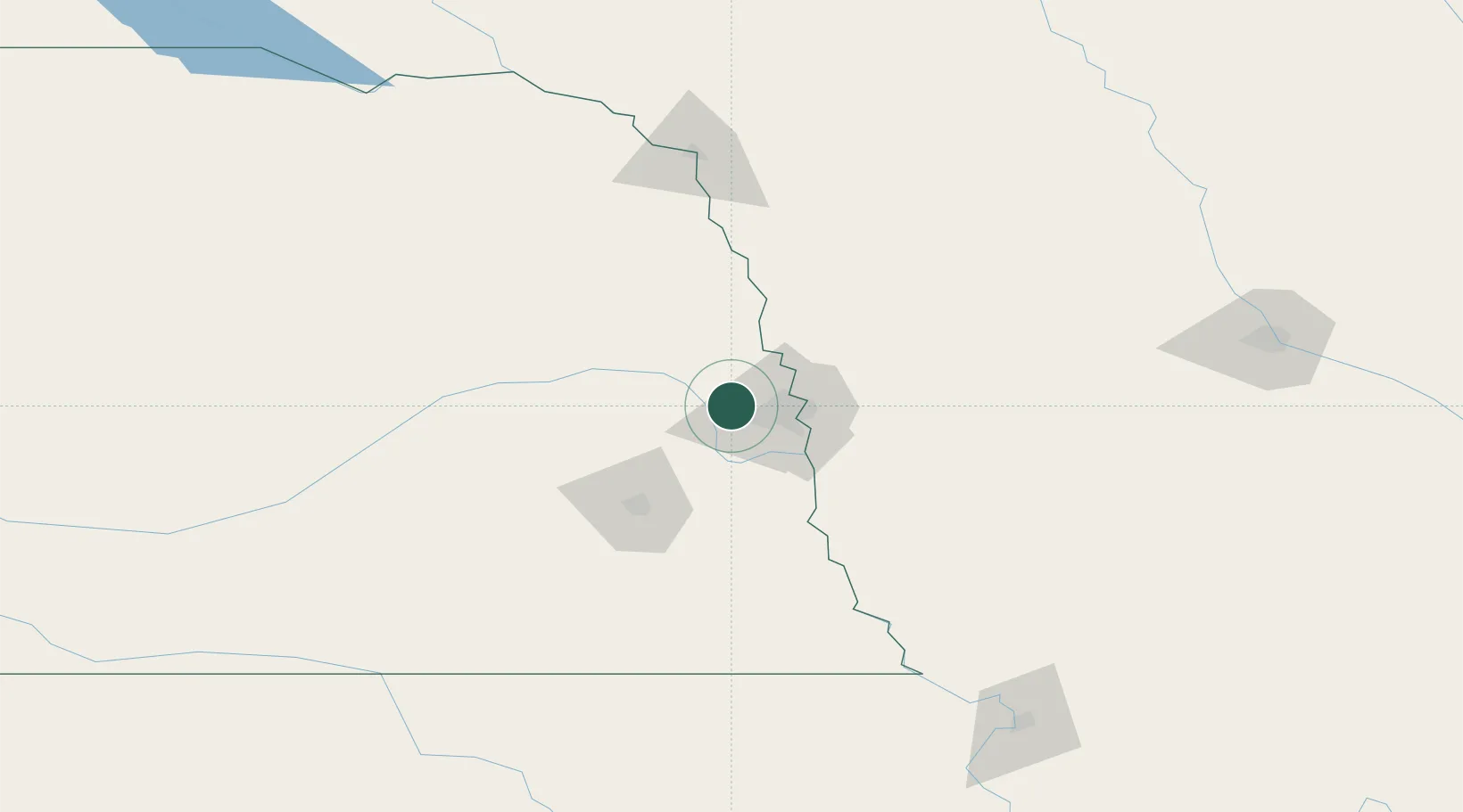
Hub Profile
Place type
Populated place
Region
Nebraska
Population
8,251
Time zone
America/Chicago
Elevation
370 m
Location
Nearby Logistics Neighbours
Ports
- 1Superior691 km
- 2Duluth693 km
- 3Kaukauna730 km
- 4Ashland731 km
- 5Two Harbors735 km
Airports
Trade Zones
- 1FTZ No. 059 Lincoln73 km
- 2FTZ No. 133 Quad-Cities, Iowa Illinois126 km
- 3FTZ No. 288 Northwest Iowa209 km
- 4FTZ No. 107 Polk County214 km
- 5FTZ No. 220 Sioux Falls256 km
DatabookThe Record of Consolidated Knowledge
United States beyond logistics?