Transport Functions
Rail
Road
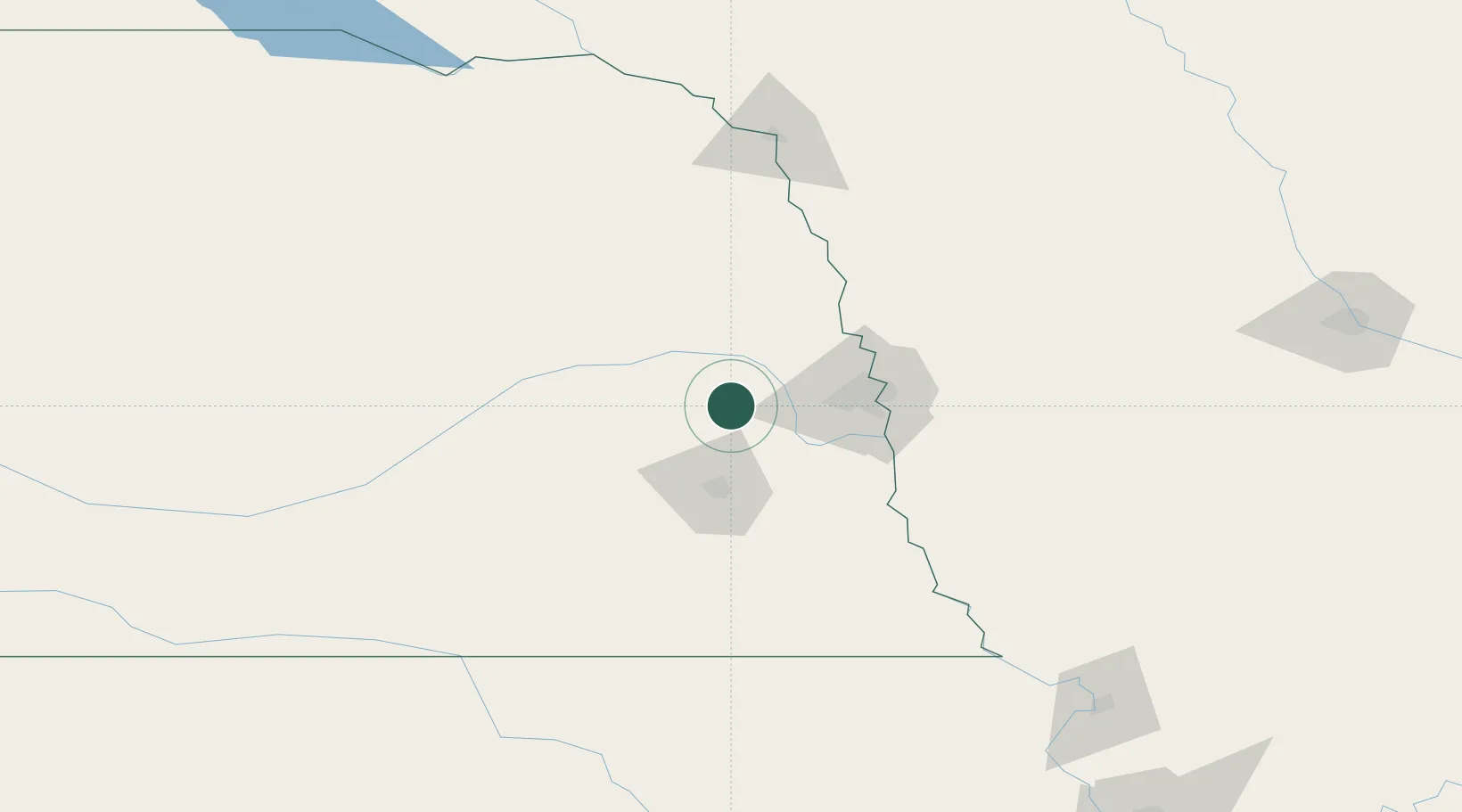
Hub Profile
Place type
Provincial seat
Region
Nebraska
Population
4,511
Time zone
America/Chicago
Elevation
369 m
Location
Nearby Logistics Neighbours
Cities
- 1Mead12 km
- 2Ceresco17 km
- 3Yutan20 km
- 4Cedar Bluffs20 km
- 5Valparaiso22 km
Ports
- 1Superior715 km
- 2Duluth717 km
- 3Ashland756 km
- 4Two Harbors758 km
- 5Washburn761 km
Airports
- 1Lincoln Airport41 km
- 2Offutt Air Force Base60 km
- 3Eppley Airfield62 km
- 4Columbus Municipal Airport66 km
- 5Karl Stefan Memorial Airport111 km
Trade Zones
- 1FTZ No. 059 Lincoln48 km
- 2FTZ No. 133 Quad-Cities, Iowa Illinois120 km
- 3FTZ No. 288 Northwest Iowa223 km
- 4FTZ No. 107 Polk County248 km
- 5FTZ No. 220 Sioux Falls262 km
DatabookThe Record of Consolidated Knowledge
United States beyond logistics?