Medium airport · United States
Columbus Municipal AirportKOLU
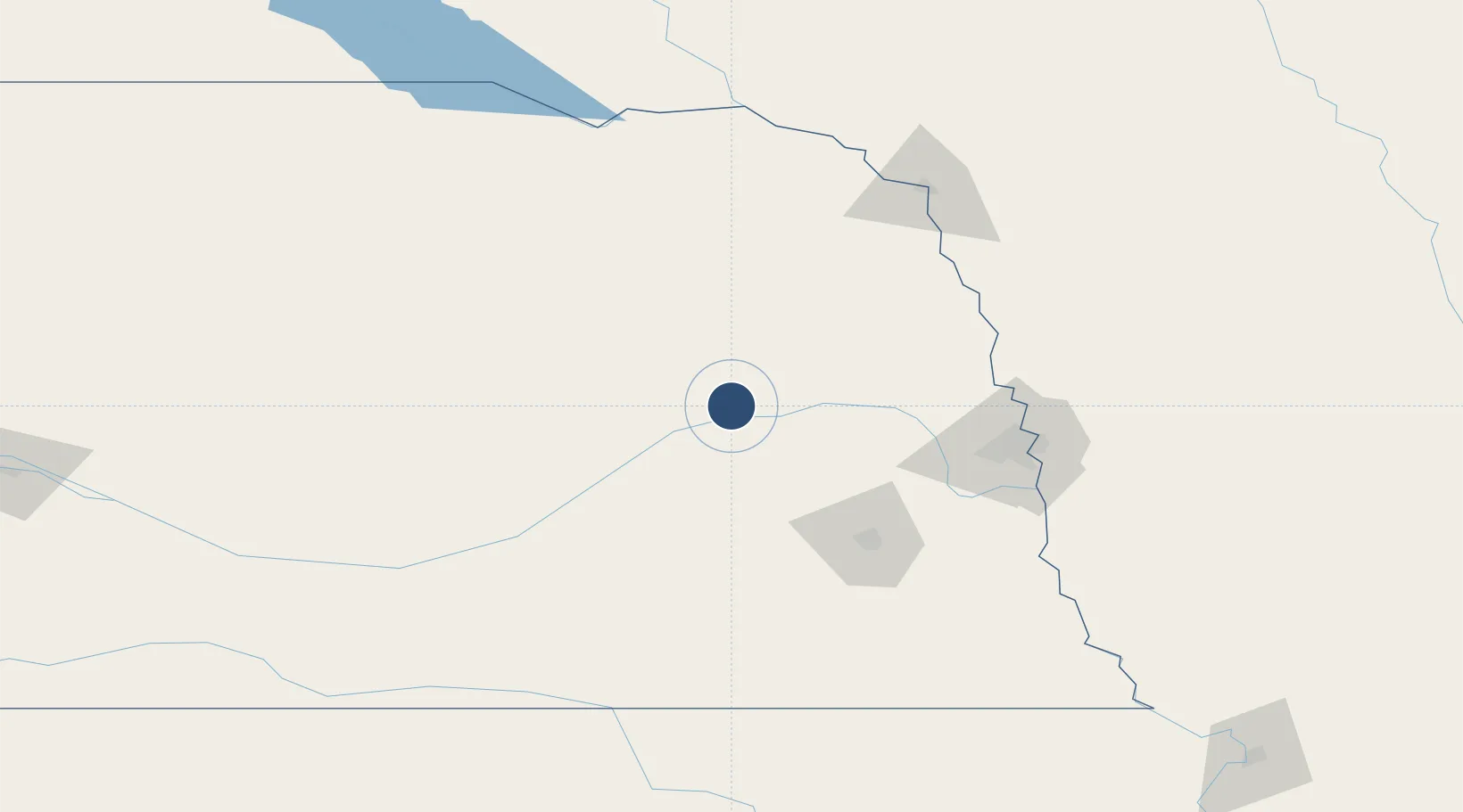
41.4481°, -97.3402°
6,801 ft
Longest runway
2
Runways
1,447 ft
Elevation
Runway & Layout

Radio Frequencies
AWOS
125.525 MHz
AWOS 3
CTAF
123.05 MHz
CTAF/UNICOM
CNTR
128.75 MHz
MINNEAPOLIS CNTR
RDO
122.2 MHz
Navaids
OLU VOR-DME Columbus 111.80 MHz
PLT NDB Platte Center 407 kHz
Runways · 2
| Runway | Dimensions | Surface | True heading | Lit |
|---|---|---|---|---|
| 14/32 | 6,801 × 100ft | Concrete | 150° | ✓ |
| 02/20 | 4,135 × 150ft | Grass | 030° | — |
Airport Specifications
IATA code
OLU
ICAO code
KOLU
Airport class
Medium airport
Scheduled service
No
Runway surface
Concrete
Served city
Columbus
Location
Nearby Logistics Neighbours
Airports
- 1Karl Stefan Memorial Airport60 km
- 2Lincoln Airport83 km
- 3Central Nebraska Regional Airport97 km
- 4Eppley Airfield122 km
- 5Offutt Air Force Base125 km
Cities
- 1Platte Center15 km
- 2David City29 km
- 3Shelby30 km
- 4North Bend46 km
- 5Morse Bluff48 km
Ports
- 1Superior723 km
- 2Duluth724 km
- 3Two Harbors767 km
- 4Ashland772 km
- 5Washburn776 km
Trade Zones
- 1FTZ No. 059 Lincoln84 km
- 2FTZ No. 133 Quad-Cities, Iowa Illinois168 km
- 3FTZ No. 288 Northwest Iowa217 km
- 4FTZ No. 220 Sioux Falls238 km
- 5FTZ No. 107 Polk County303 km
DatabookThe Record of Consolidated Knowledge
United States beyond logistics?