Foreign Trade Zone · United States

FTZ No. 220 Sioux Falls Active
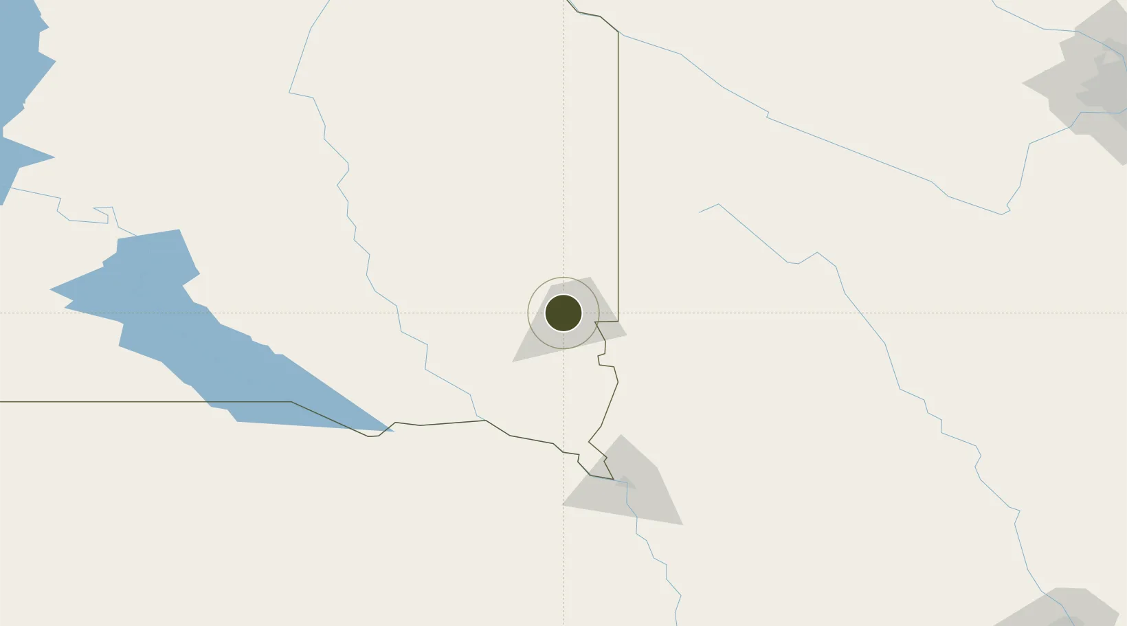
43.5512°, -96.7939°
512.3 km
Nearest port
5.7 km
Nearest airport

Gateway access

Nearest neighbours — logibook spatial index (haversine) over the source coordinates

Zone profile

Zone type
Foreign Trade Zone
Open Zone Map
Region
South Dakota
Open Zone Map
Status
Active
Open Zone Map
Management
Public-Private Partnership
Open Zone Map
Operator
Sioux Falls Development Foundation
Open Zone Map
Legal framework
Foreign-Trade Zones Act
Open Zone Map

Location

Location of ozm-4960
Natural Earth 10m (public domain) · South Dakota · ozm-4960 · 43.55, -96.79GoogleOSMYandex

Nearby Logistics Neighbours

Ports
  1. 1Superior512 km
  2. 2Duluth513 km
  3. 3Two Harbors557 km
  4. 4Ashland576 km
  5. 5Washburn579 km
Nearest neighbours — logibook spatial index (haversine) over the source coordinates
Airports
  1. 1Sioux Falls Regional Airport6 km
  2. 2Chan Gurney Municipal Airport85 km
  3. 3Sioux Gateway Airport / Brigadier General Bud Day Field133 km
  4. 4Huron Regional Airport148 km
  5. 5Watertown Regional Airport154 km
Nearest neighbours — logibook spatial index (haversine) over the source coordinates
Cities
  1. 1Harrisburg17 km
  2. 2Brandon19 km
  3. 3Rowena20 km
  4. 4Inwood39 km
  5. 5Luverne49 km
Nearest neighbours — logibook spatial index (haversine) over the source coordinates
Trade Zones
  1. 1FTZ No. 288 Northwest Iowa73 km
  2. 2FTZ No. 059 Lincoln306 km
  3. 3FTZ No. 119 Minneapolis-St. Paul324 km
  4. 4FTZ No. 107 Polk County327 km
  5. 5FTZ No. 267 Fargo368 km
Nearest neighbours — logibook spatial index (haversine) over the source coordinates
DatabookThe Record of Consolidated Knowledge
United States beyond logistics?
Browse databook

All Sources

Trade ZonesOpen Zone Map
CC BY
Portsthe NGA World Port Index
Public domain (US gov)
AirportsOurAirports
Public domain
LocationsUN/LOCODE
UN/LOCODE — free
← United States trade zones