Transport Functions
Rail
Road
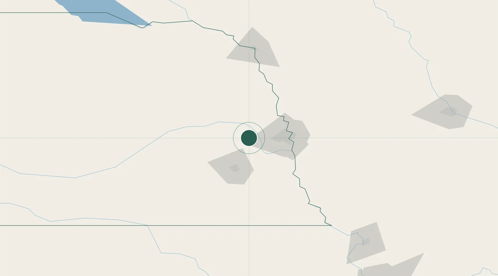
Hub Profile
Place type
Populated place
Region
Nebraska
Population
557
Time zone
America/Chicago
Elevation
369 m
Location
Nearby Logistics Neighbours
Cities
- 1Yutan8 km
- 2Wahoo12 km
- 3Cedar Bluffs19 km
- 4Elkhorn22 km
- 5Gretna23 km
Ports
- 1Superior706 km
- 2Duluth708 km
- 3Ashland747 km
- 4Two Harbors750 km
- 5Kaukauna751 km
Airports
- 1Lincoln Airport49 km
- 2Offutt Air Force Base50 km
- 3Eppley Airfield50 km
- 4Columbus Municipal Airport75 km
- 5Karl Stefan Memorial Airport115 km
Trade Zones
- 1FTZ No. 059 Lincoln56 km
- 2FTZ No. 133 Quad-Cities, Iowa Illinois121 km
- 3FTZ No. 288 Northwest Iowa217 km
- 4FTZ No. 107 Polk County236 km
- 5FTZ No. 220 Sioux Falls259 km
DatabookThe Record of Consolidated Knowledge
United States beyond logistics?