Transport Functions
Road
Multimodal
Hub Profile
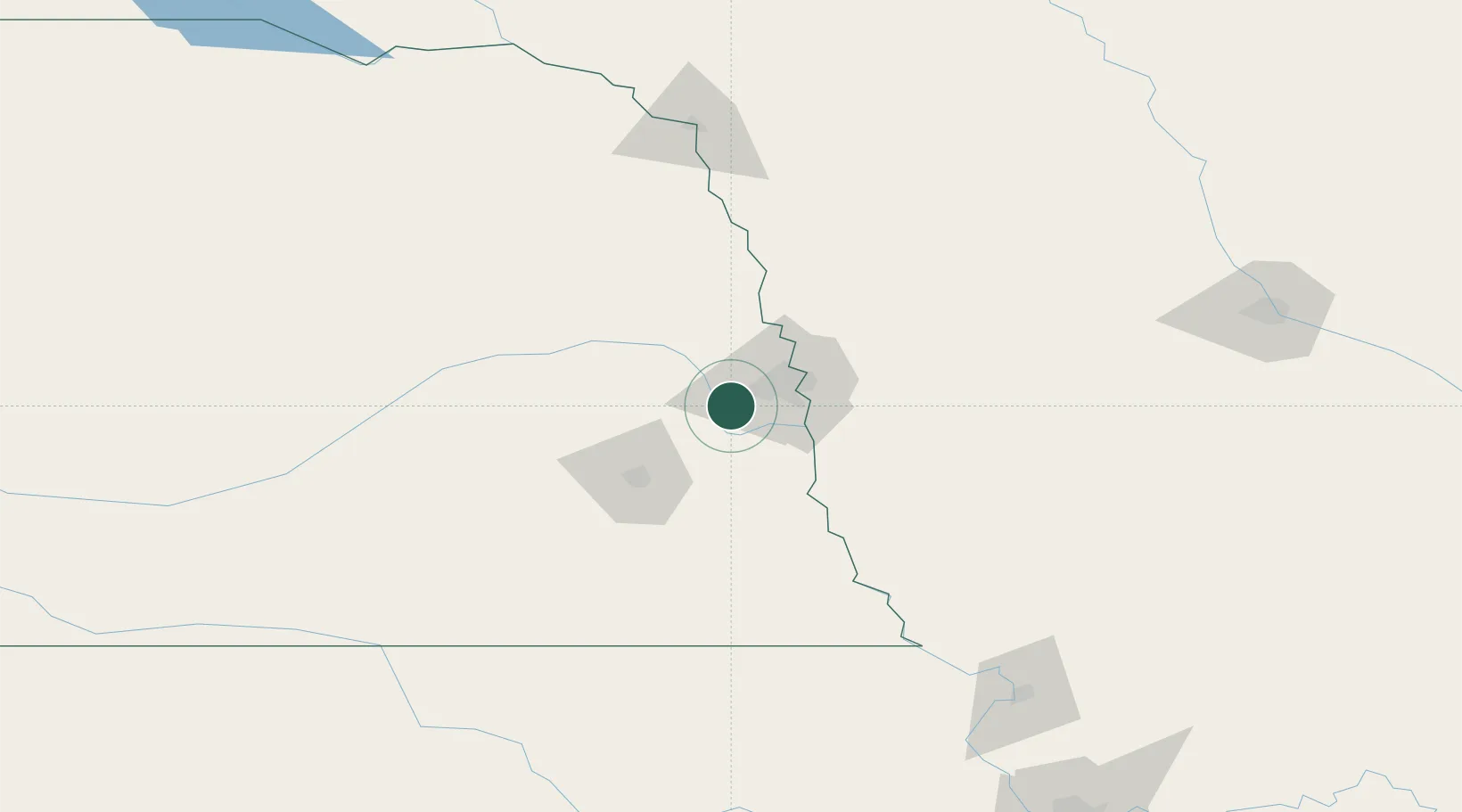
Place type
Populated place
Region
Nebraska
Population
5,046
Time zone
America/Chicago
Elevation
387 m
Logistics facilities
1
Location
Nearby Logistics Neighbours
Ports
- 1Superior705 km
- 2Duluth707 km
- 3Kaukauna738 km
- 4Ashland743 km
- 5Two Harbors748 km
Airports
- 1Offutt Air Force Base27 km
- 2Eppley Airfield33 km
- 3Lincoln Airport56 km
- 4Columbus Municipal Airport98 km
- 5Karl Stefan Memorial Airport137 km
Trade Zones
- 1FTZ No. 059 Lincoln63 km
- 2FTZ No. 133 Quad-Cities, Iowa Illinois112 km
- 3FTZ No. 107 Polk County218 km
- 4FTZ No. 288 Northwest Iowa224 km
- 5FTZ No. 017 Kansas City257 km
DatabookThe Record of Consolidated Knowledge
United States beyond logistics?