Medium airport · United States

Karl Stefan Memorial AirportKOFK
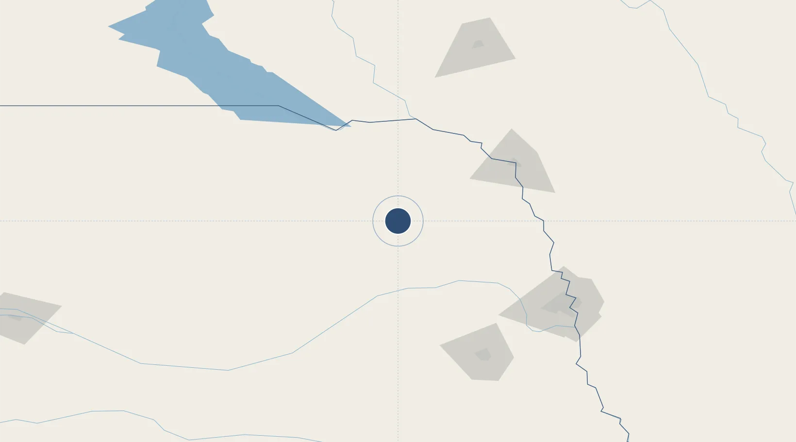
41.9855°, -97.4351°
5,806 ft
Longest runway
2
Runways
1,573 ft
Elevation

Runway & Layout

Karl Stefan Memorial Airport runway & taxiway layout
Runway & taxiway layout — OpenStreetMap (ODbL) / OurAirports

Radio Frequencies

ASOS
119.025 MHz
RDO
122.15 MHz
COLUMBUS RDO
UNIC
122.7 MHz
CTAF/UNICOM
OurAirports

Runways · 2

RunwayDimensions SurfaceTrue headingLit
14/32 5,806 × 100ft Asphalt 142°
02/20 5,801 × 100ft Asphalt 019°
OurAirports

Airport Specifications

IATA code
OFK
OurAirports
ICAO code
KOFK
OurAirports
Airport class
Medium airport
OurAirports
Scheduled service
No
OurAirports
Runway surface
Asphalt
OurAirports
Served city
Norfolk
OurAirports

Location

Location of KOFK
Natural Earth 10m (public domain) · Nebraska · KOFK · 41.99, -97.44GoogleOSMYandex

Nearby Logistics Neighbours

Airports
  1. 1Columbus Municipal Airport60 km
  2. 2Sioux Gateway Airport / Brigadier General Bud Day Field98 km
  3. 3Chan Gurney Municipal Airport104 km
  4. 4Central Nebraska Regional Airport135 km
  5. 5Lincoln Airport139 km
Nearest neighbours — logibook spatial index (haversine) over the source coordinates
Cities
  1. 1Pierce23 km
  2. 2Platte Center50 km
  3. 3Petersburg56 km
  4. 4Lyons79 km
  5. 5North Bend79 km
Nearest neighbours — logibook spatial index (haversine) over the source coordinates
Ports
  1. 1Superior679 km
  2. 2Duluth680 km
  3. 3Two Harbors723 km
  4. 4Ashland732 km
  5. 5Washburn736 km
Nearest neighbours — logibook spatial index (haversine) over the source coordinates
Trade Zones
  1. 1FTZ No. 059 Lincoln141 km
  2. 2FTZ No. 288 Northwest Iowa172 km
  3. 3FTZ No. 220 Sioux Falls182 km
  4. 4FTZ No. 133 Quad-Cities, Iowa Illinois225 km
  5. 5FTZ No. 107 Polk County310 km
Nearest neighbours — logibook spatial index (haversine) over the source coordinates
DatabookThe Record of Consolidated Knowledge
United States beyond logistics?
Browse databook

All Sources

AirportsOurAirports
Public domain
Portsthe NGA World Port Index
Public domain (US gov)
LocationsUN/LOCODE
UN/LOCODE — free
Trade Zonesthe World Bank SEZ database
CC BY 4.0
Trade ZonesOpen Zone Map
CC BY
InfrastructureOpenStreetMap
ODbL 1.0
← United States airports