Transport Functions
Rail
Road
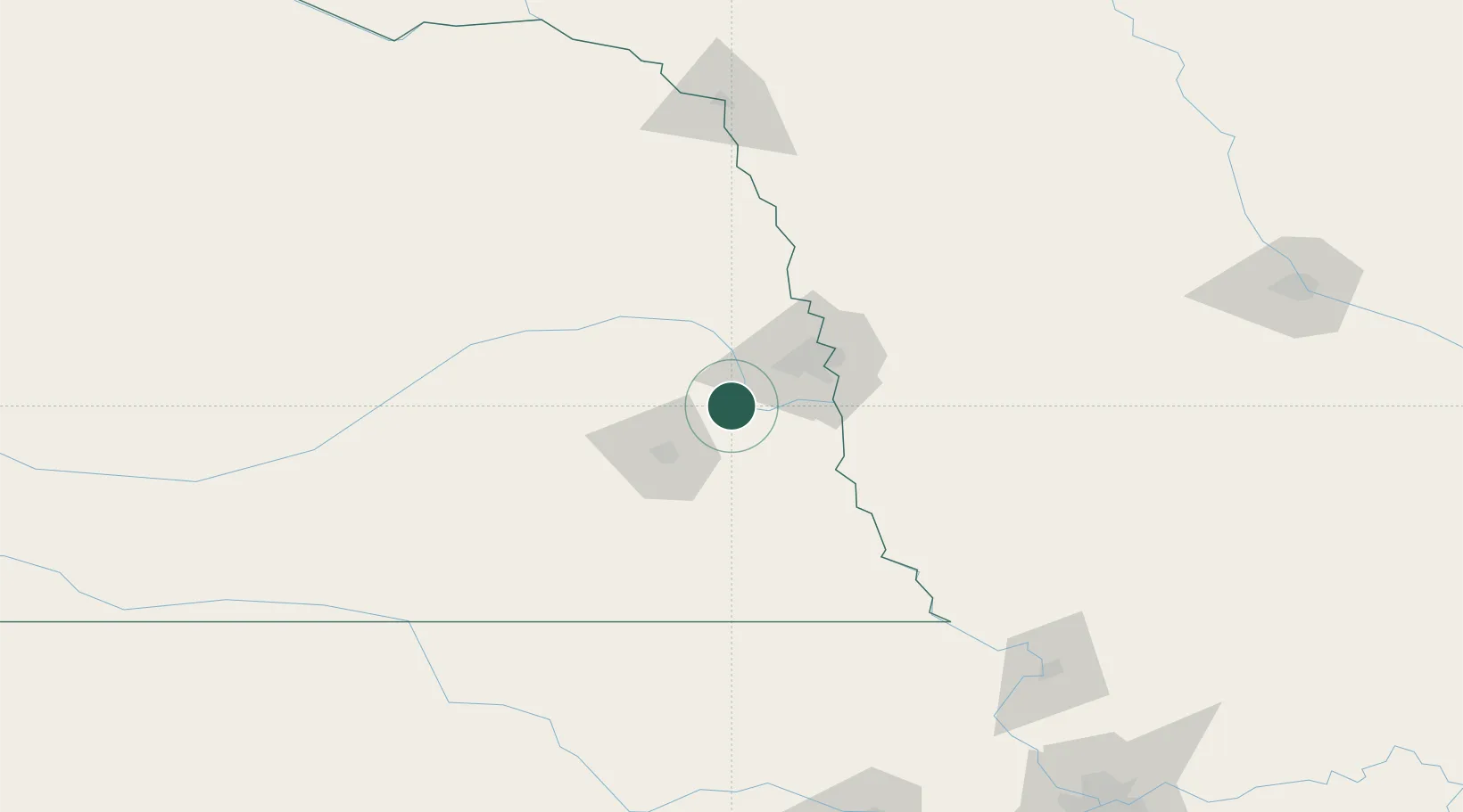
Hub Profile
Place type
Populated place
Region
Nebraska
Population
2,558
Time zone
America/Chicago
Elevation
332 m
Location
Nearby Logistics Neighbours
Ports
- 1Superior721 km
- 2Duluth723 km
- 3Kaukauna754 km
- 4Ashland760 km
- 5Two Harbors764 km
Airports
- 1Lincoln Airport39 km
- 2Offutt Air Force Base40 km
- 3Eppley Airfield50 km
- 4Columbus Municipal Airport94 km
- 5Karl Stefan Memorial Airport138 km
Trade Zones
- 1FTZ No. 059 Lincoln47 km
- 2FTZ No. 133 Quad-Cities, Iowa Illinois98 km
- 3FTZ No. 107 Polk County233 km
- 4FTZ No. 288 Northwest Iowa238 km
- 5FTZ No. 017 Kansas City251 km
DatabookThe Record of Consolidated Knowledge
United States beyond logistics?