Transport Functions
Rail
Road
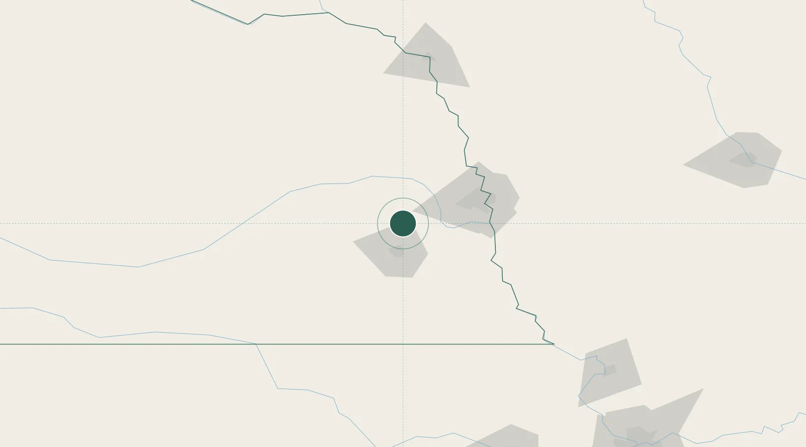
Hub Profile
Place type
Populated place
Region
Nebraska
Population
897
Time zone
America/Chicago
Elevation
372 m
Location
Nearby Logistics Neighbours
Cities
- 1Wahoo17 km
- 2Valparaiso17 km
- 3Greenwood19 km
- 4Ashland22 km
- 5Mead24 km
Ports
- 1Superior730 km
- 2Duluth732 km
- 3Ashland771 km
- 4Kaukauna772 km
- 5Two Harbors774 km
Airports
- 1Lincoln Airport25 km
- 2Offutt Air Force Base61 km
- 3Eppley Airfield68 km
- 4Columbus Municipal Airport74 km
- 5Karl Stefan Memorial Airport124 km
Trade Zones
- 1FTZ No. 059 Lincoln32 km
- 2FTZ No. 133 Quad-Cities, Iowa Illinois104 km
- 3FTZ No. 288 Northwest Iowa239 km
- 4FTZ No. 107 Polk County253 km
- 5FTZ No. 017 Kansas City265 km
DatabookThe Record of Consolidated Knowledge
United States beyond logistics?