Transport Functions
Rail
Road
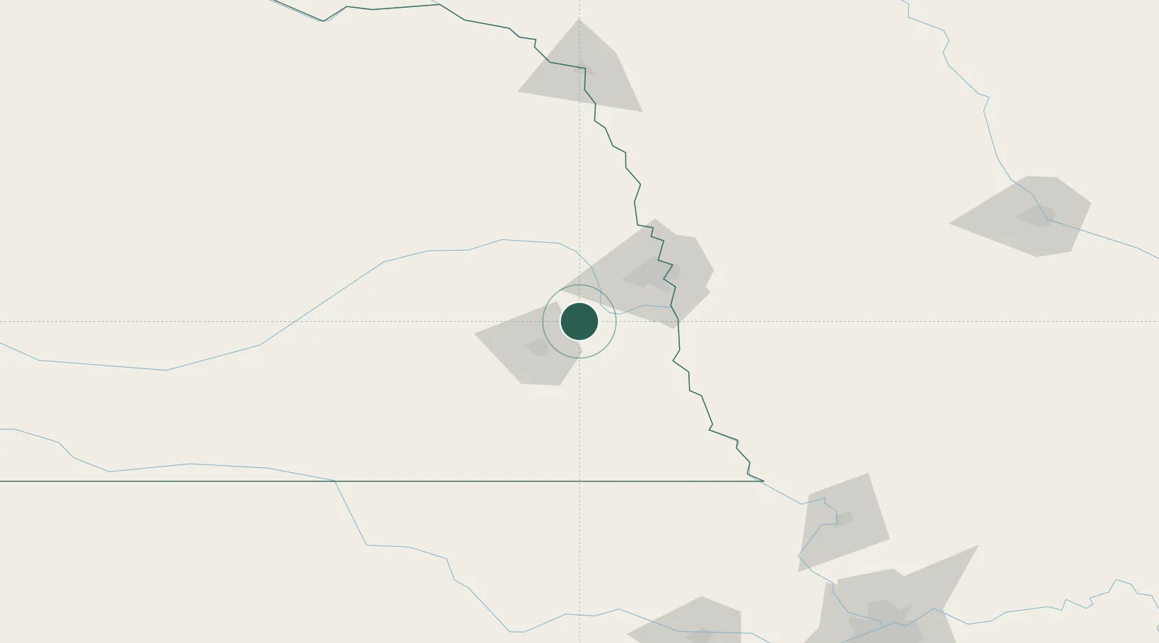
Hub Profile
Place type
Populated place
Region
Nebraska
Population
571
Time zone
America/Chicago
Elevation
344 m
Location
Nearby Logistics Neighbours
Ports
- 1Superior730 km
- 2Duluth732 km
- 3Kaukauna763 km
- 4Ashland769 km
- 5Two Harbors774 km
Airports
- 1Lincoln Airport31 km
- 2Offutt Air Force Base47 km
- 3Eppley Airfield59 km
- 4Columbus Municipal Airport93 km
- 5Karl Stefan Memorial Airport141 km
Trade Zones
- 1FTZ No. 059 Lincoln38 km
- 2FTZ No. 133 Quad-Cities, Iowa Illinois91 km
- 3FTZ No. 107 Polk County240 km
- 4FTZ No. 288 Northwest Iowa246 km
- 5FTZ No. 017 Kansas City248 km
DatabookThe Record of Consolidated Knowledge
United States beyond logistics?