UN/LOCODE hub · United States
USVPO
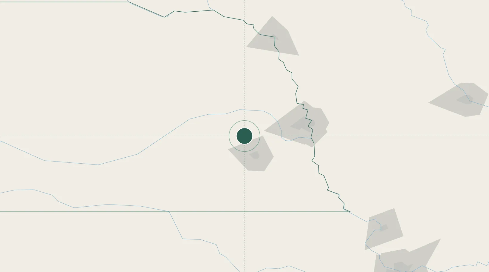
Valparaiso
41.0833°, -96.8333°
552
Population
2
Transport functions
Transport Functions
Rail
Road
Hub Profile
Place type
Populated place
Region
Nebraska
Population
552
Time zone
America/Chicago
Elevation
400 m
Location
Nearby Logistics Neighbours
Cities
- 1Ceresco17 km
- 2Wahoo22 km
- 3Seward29 km
- 4David City30 km
- 5Mead34 km
Ports
- 1Superior735 km
- 2Duluth737 km
- 3Ashland778 km
- 4Two Harbors779 km
- 5Washburn782 km
Airports
- 1Lincoln Airport27 km
- 2Columbus Municipal Airport59 km
- 3Offutt Air Force Base78 km
- 4Eppley Airfield82 km
- 5Karl Stefan Memorial Airport112 km
Trade Zones
- 1FTZ No. 059 Lincoln31 km
- 2FTZ No. 133 Quad-Cities, Iowa Illinois113 km
- 3FTZ No. 288 Northwest Iowa240 km
- 4FTZ No. 107 Polk County269 km
- 5FTZ No. 220 Sioux Falls274 km
DatabookThe Record of Consolidated Knowledge
United States beyond logistics?