Transport Functions
Multimodal
Hub Profile
Place type
Populated place
Region
Texas
Time zone
America/Chicago
Elevation
63 m
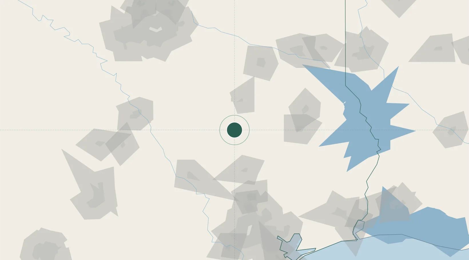
Location
Nearby Logistics Neighbours
Cities
- 1Lovelady35 km
- 2Normangee53 km
- 3Tennessee Colony57 km
- 4Center, Limestone72 km
- 5Gallatin81 km
Airports
- 1Huntsville Regional Airport66 km
- 2Angelina County Airport91 km
- 3Easterwood Field104 km
- 4Conroe-North Houston Regional Airport113 km
- 5Tyler Pounds Regional Airport117 km
Trade Zones
- 1FTZ No. 297 Lufkin86 km
- 2FTZ No. 269 Athens98 km
- 3FTZ No. 171 Liberty County140 km
- 4FTZ No. 246 Waco150 km
- 5FTZ No. 234 Gregg County150 km
DatabookThe Record of Consolidated Knowledge
United States beyond logistics?